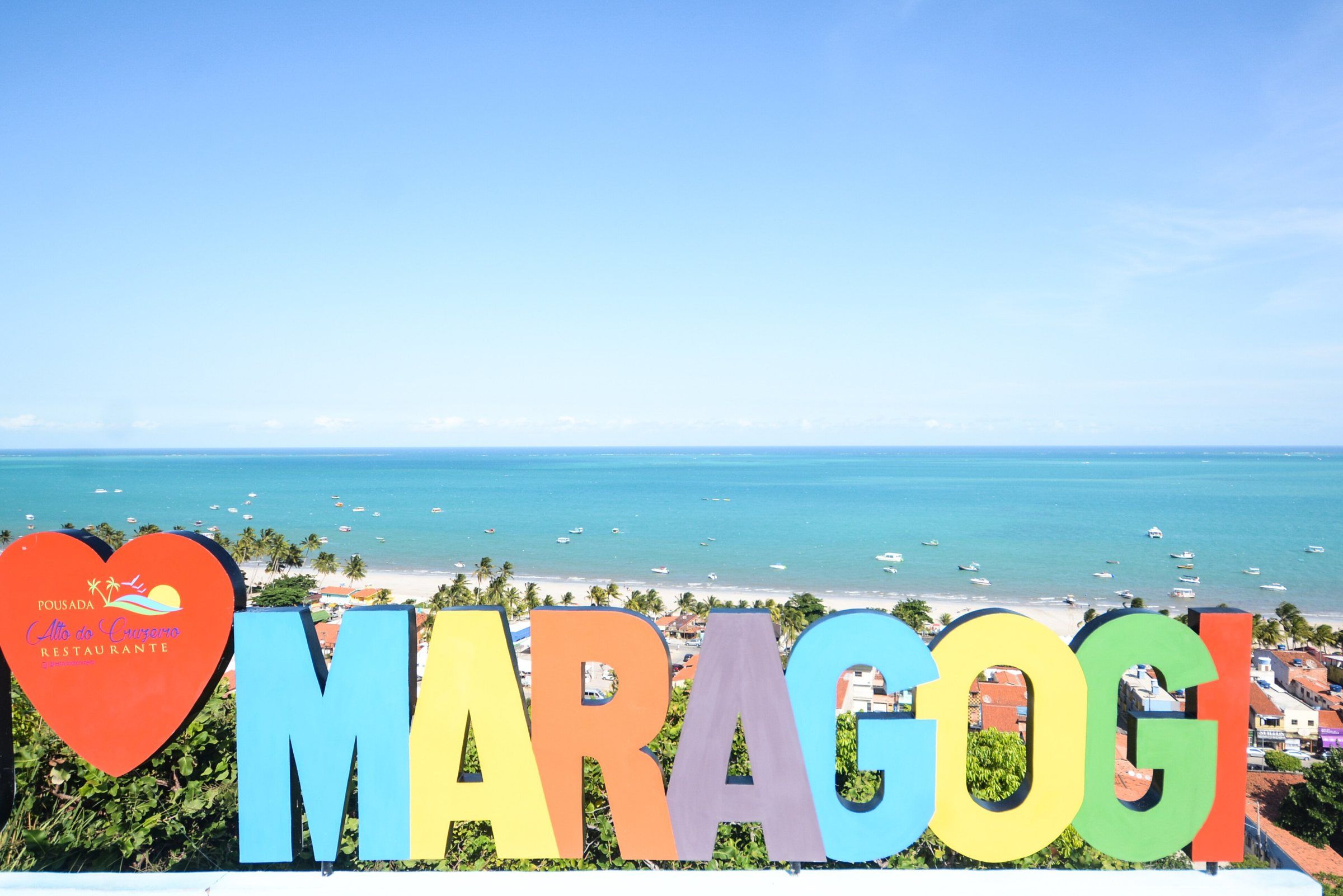
Plan Your Trip to Maragogi
The decisions that make the trip work: season, tide, arrival airport, where to base yourself and budget.
Updated on October 5, 2026 ✓ Information checked on October 5, 2026 adapted from the Portuguese original
Maragogi is a municipality on the northern coast of the state of Alagoas, Brazil, on the border with Pernambuco. According to IBGE, it had 32,174 inhabitants in the 2022 Census. Its sea lies within the Costa dos Corais (Coral Coast) Environmental Protection Area (APA), a federal protected area managed by ICMBio. The trip is simple, but four decisions make a big difference: the season, the tide, your arrival airport and where to stay.
Where to start
- Choose the season. According to INMET’s climate normals for Maceió, the nearest state capital, the rainiest period runs from April to July. September to March is usually drier. See the details in when to visit Maragogi.
- Cross-check your dates with the tide table. The galés of Maragogi and the other natural pools appear at low tide. Learn to read the forecast in tide table.
- Choose your airport. Maceió and Recife are at similar distances. Compare both routes in how to get to Maragogi.
- Choose your base. The town center, the northern beaches, the southern beaches or neighboring villages offer different experiences. Compare them in where to stay.
- Set your budget. Accommodation, flights and tours weigh the most. Understand the breakdown in how much a trip costs.
Checklist before you fly
| Item | Why it matters |
|---|---|
| Tide table for your travel dates | Determines the best day and time for the natural pools |
| Accommodation booked | Summer, Carnival and July see the most demand |
| Airport transport sorted | It’s about two hours by road to town |
| Sunscreen, hat and water bottle | Strong sun all year round |
| Neoprene booties or water shoes | Protect your feet in reef areas; never step on the coral |
| Light rain jacket (April to July) | Showers are frequent in these months |
| Cash and card | Not every beach service accepts both |
Quick questions
The most common questions, such as how many days to stay, whether you can go without a car and whether it’s good for children, are answered in the FAQ. For practical day-to-day tips, read travel tips. To understand the rules of the protected sea, see the Costa dos Corais APA.
Below are all the planning guides in this section.
Plan
In this section
-
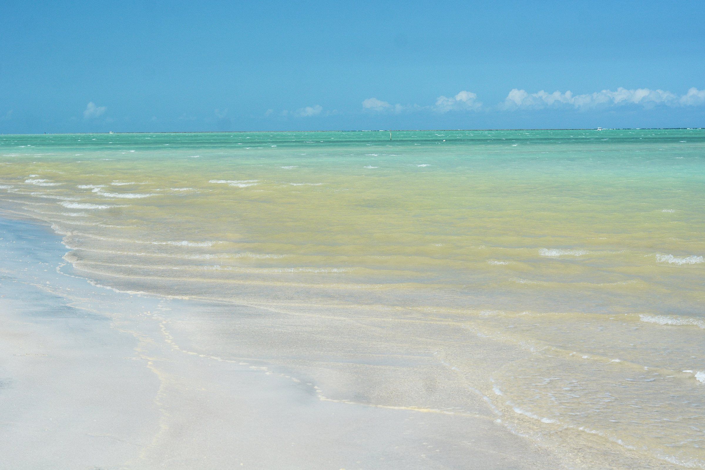 When to Visit Maragogi: Weather, Rain and Tides Month by Month September to March is usually drier; April to July brings most of the rain. But the right day also depends on the tide. Read guide
-
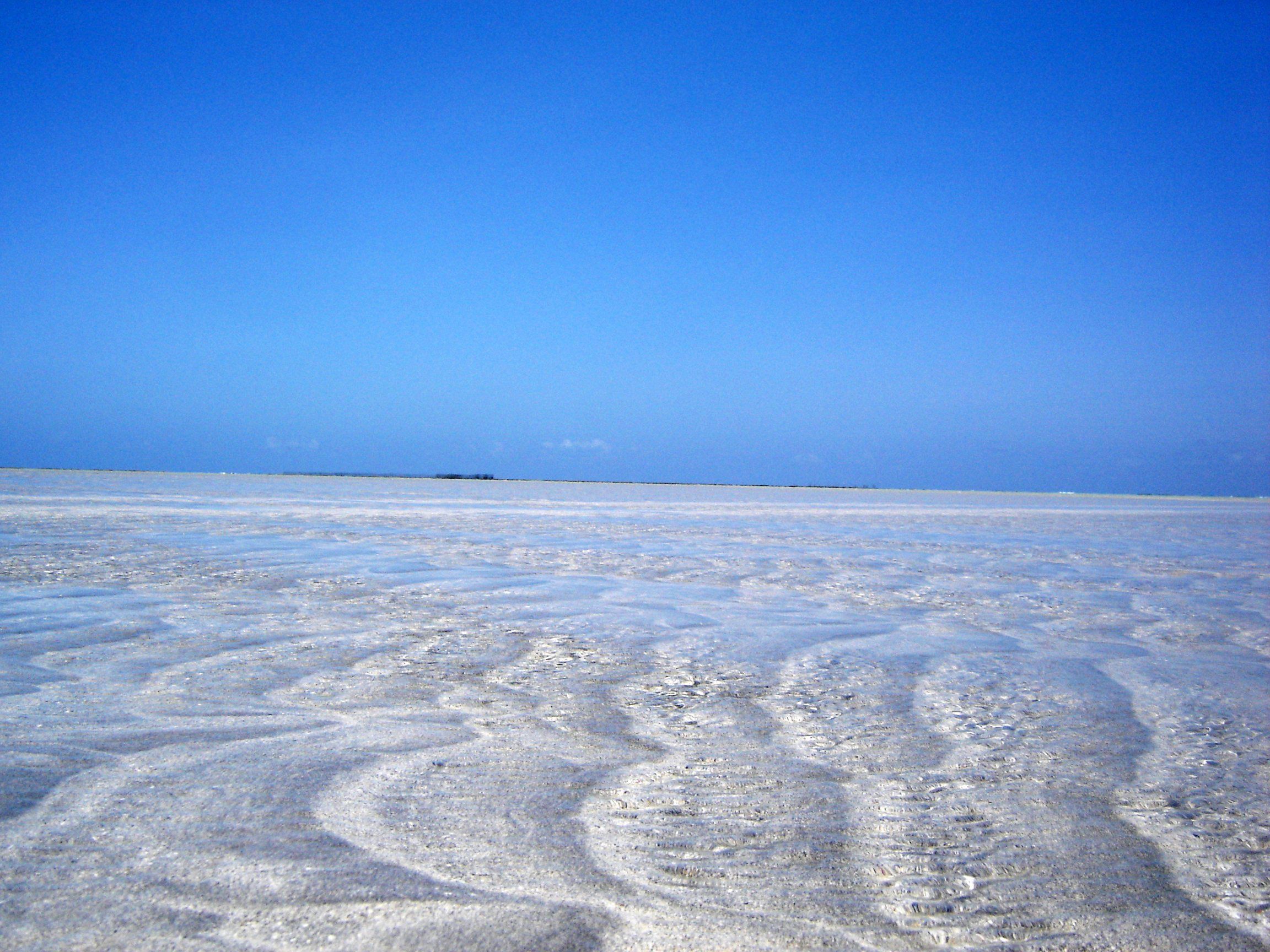 Maragogi Tide Table: How to Read It and Where to Check Maragogi's natural pools only open around low tide. Learn to read the Brazilian Navy's official forecast and choose the best day for the galés and Moses' Path. Read guide
-
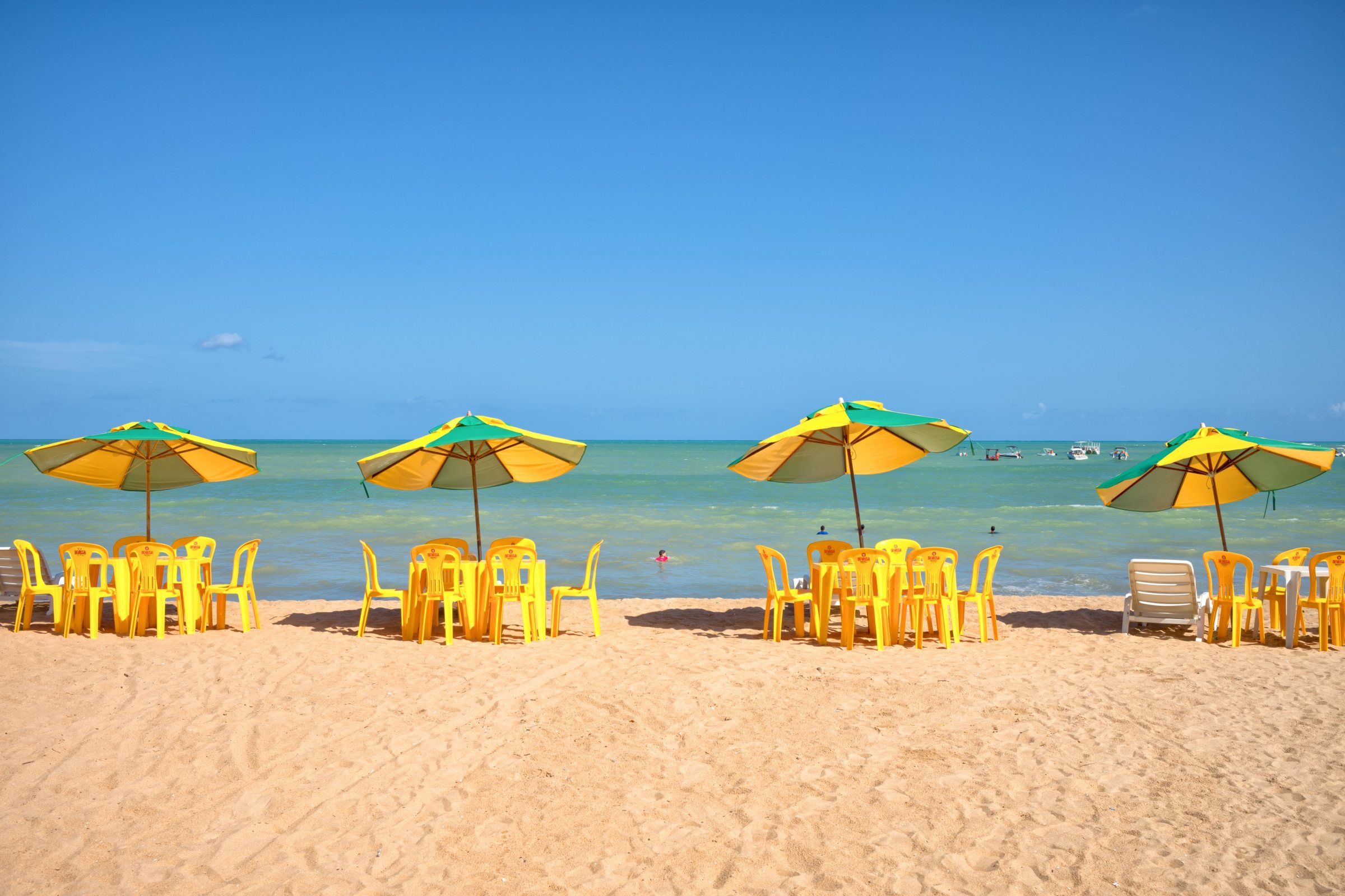 How Much a Trip to Maragogi Costs: Budget Breakdown Flights, accommodation and tours shape the budget. City Hall sets a minimum price for trips to the pools. Read guide
-
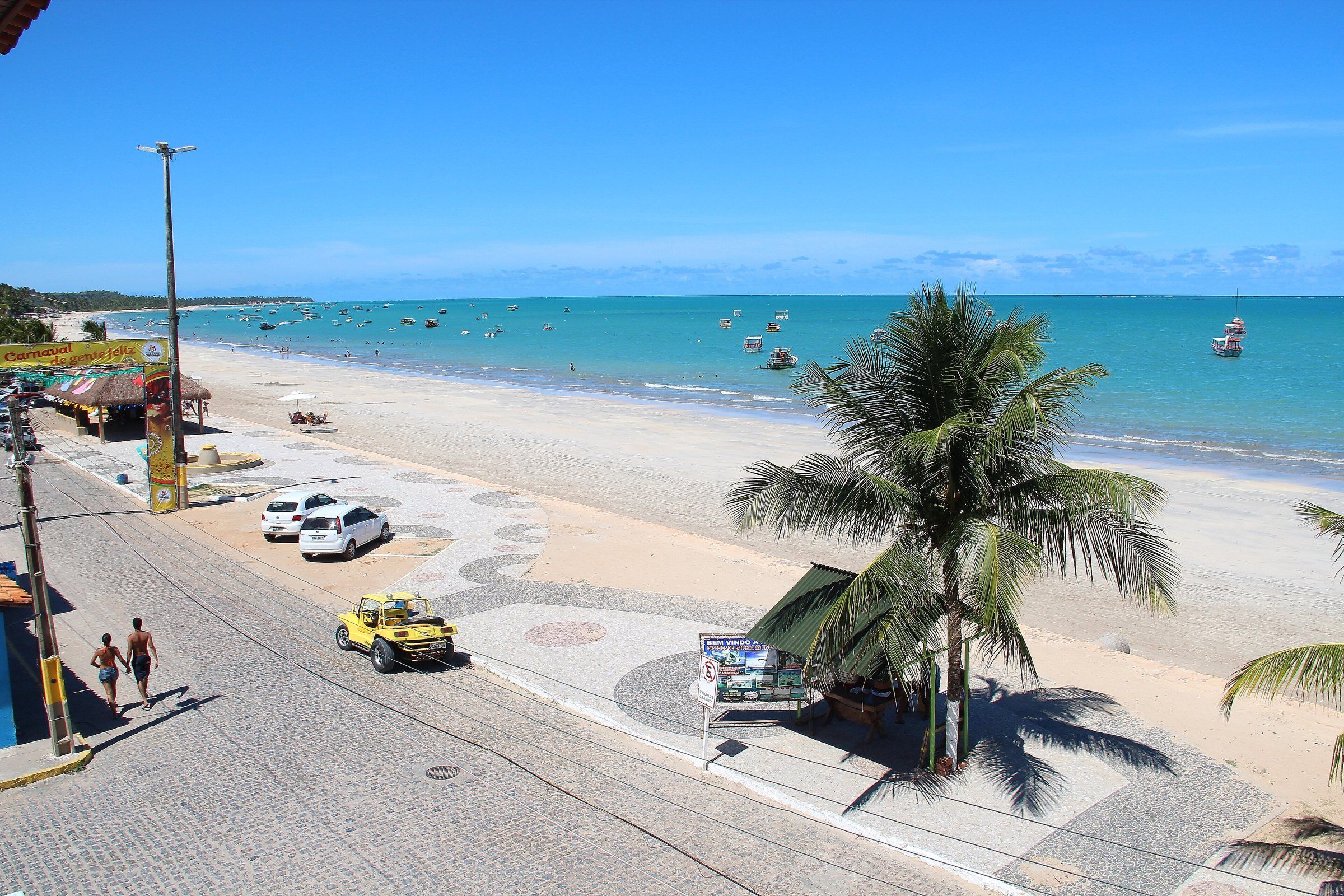 How to Get to Maragogi: Airports, Roads and Transport Options Maceió and Recife are at similar distances from Maragogi. Here's how to choose your airport and transport. Read guide
-
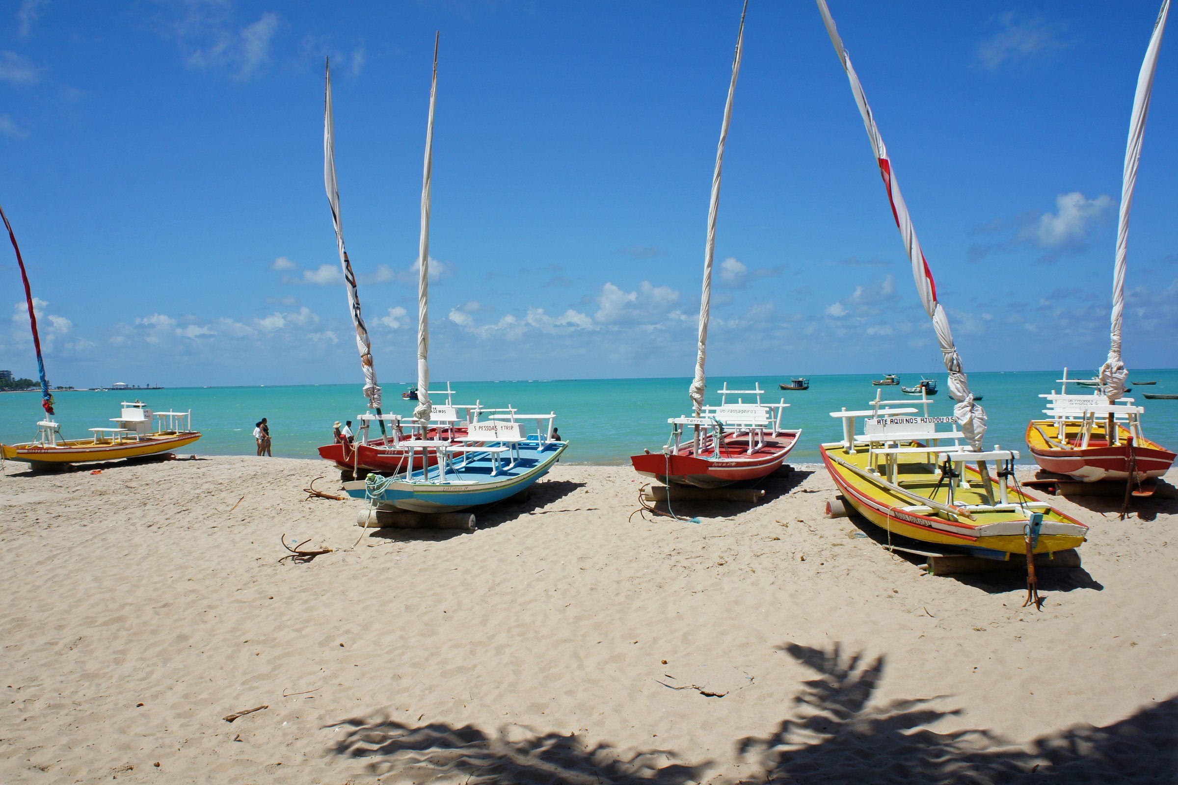 From Maceió to Maragogi: Routes, Distance and Travel Time It's about 125 to 131 km. The fastest route cuts inland; the coastal route passes along the Ecological Route. Read guide
-
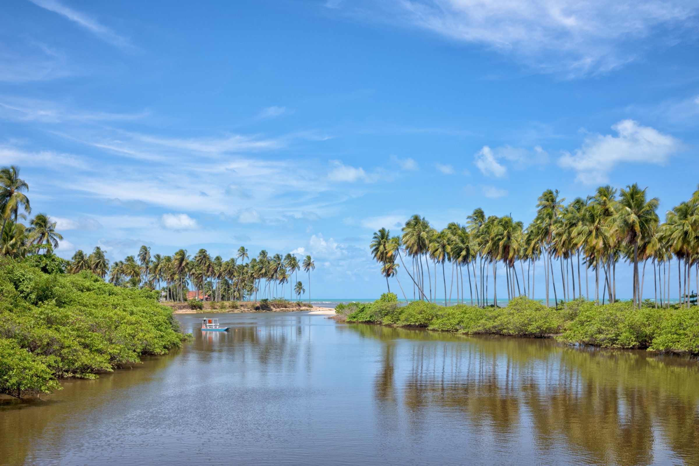 From Recife to Maragogi: Route, Distance and Travel Time It's about 125 km from Recife airport, around two hours, along the PE-060 to the border with Alagoas. Read guide
-
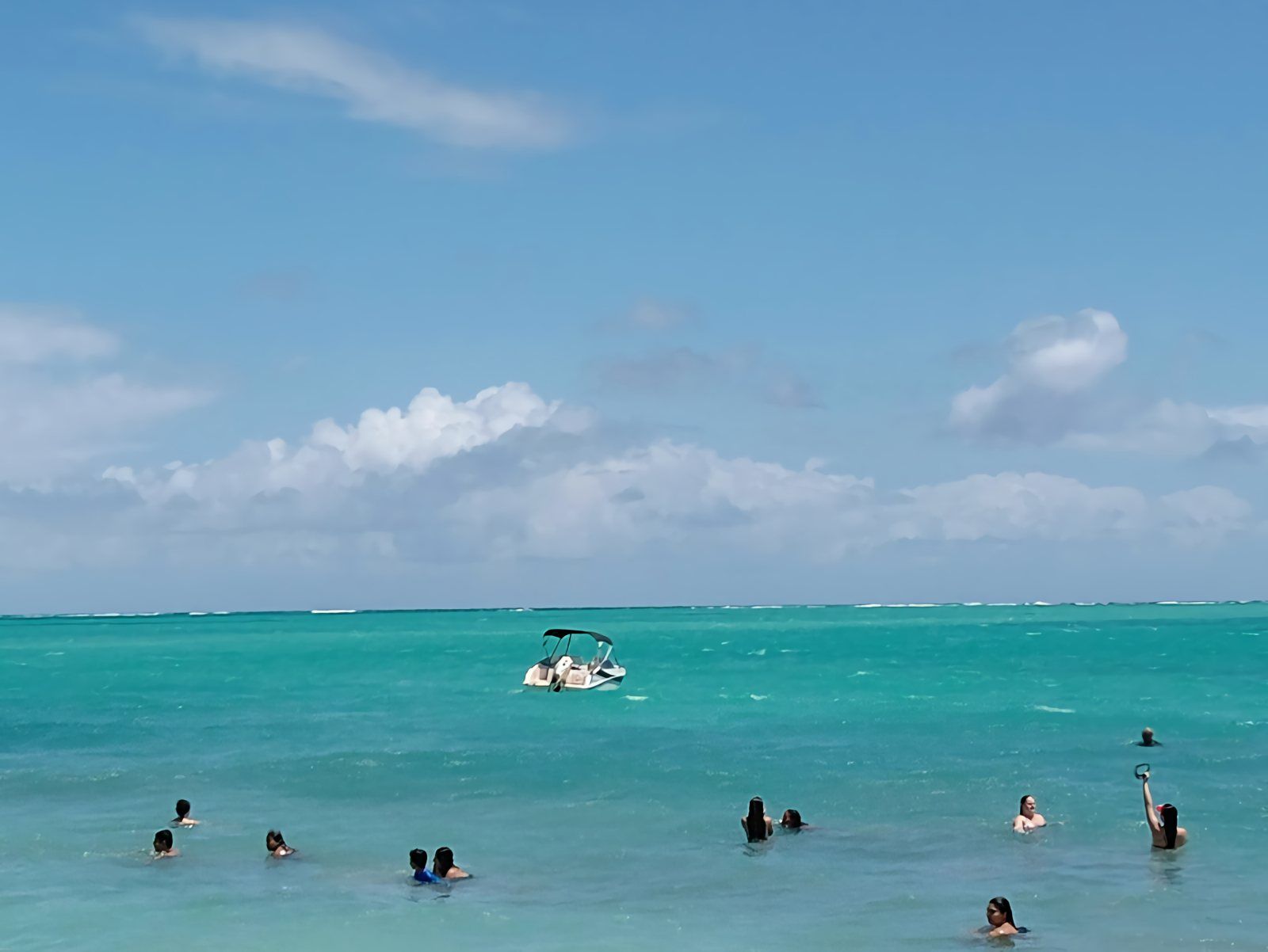 Maragogi Travel Tips: What to Know Before You Go What makes a real difference: the tide, the right tour, light luggage and respect for the reefs. Read guide
-
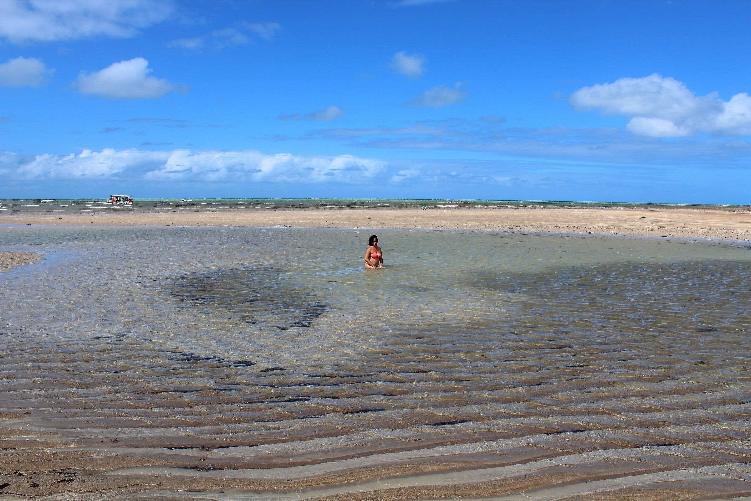 Maragogi Safety: Sea, Reefs, Sun and Health The precautions that prevent most problems: swimming near lifeguards, respecting the tide, sun protection and care on the road. Read guide
-
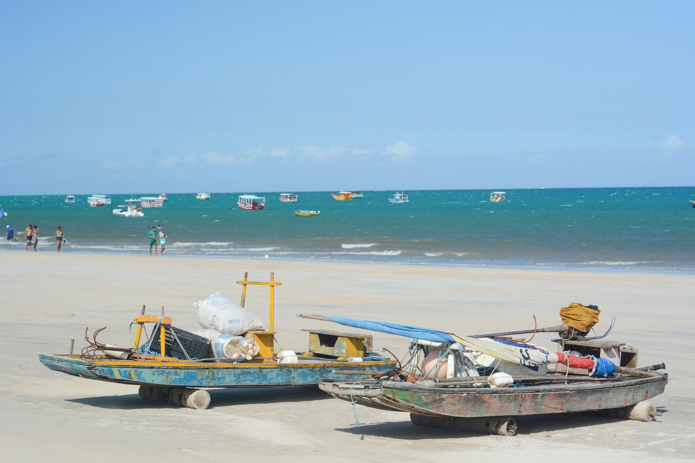 Maragogi FAQ Straight answers to the most common questions from first-time visitors planning a trip to Maragogi. Read guide
-
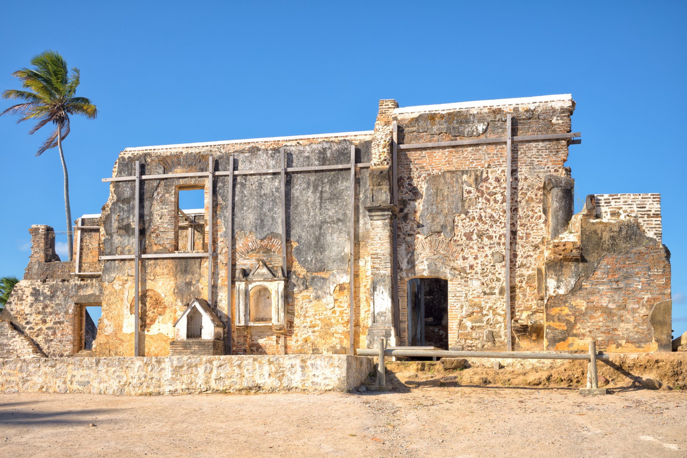 History of Maragogi: From the Village of Gamela to Tourism From a settlement called Gamela to the leading destination on Alagoas' northern coast: Maragogi's name, dates, wars and economy. Read guide
-
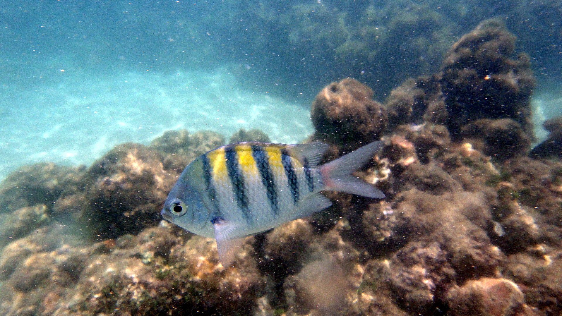 Costa dos Corais APA: What It Is and Rules for Visitors Maragogi lies inside one of Brazil's largest marine protected areas. Learn what the Costa dos Corais APA is and what it means for you on your trip. Read guide
Frequently asked questions
What should I plan first for a trip to Maragogi?
Your dates, cross-checked with the tide table. Trips to the natural pools depend on low tide, so the good days and times change throughout the month.
Which airport is closer to Maragogi, Maceió or Recife?
The distances are similar. According to OSRM route calculations, it's about 125 km by car from each airport, roughly two hours without stops. The choice usually depends on the airfare.
How many days should I stay in Maragogi?
Three to four days let you take a trip to the pools, enjoy the beaches and have room for a day of bad tide or rain. With more time, you can add Japaratinga and the Milagres Ecological Route.
Keep reading
Keep planning
- When to Visit Maragogi: Weather, Rain and Tides Month by Month September to March is usually drier; April to July brings most of the rain. But the right day also depends on the tide. Read guide
- Maragogi Tide Table: How to Read It and Where to Check Maragogi's natural pools only open around low tide. Learn to read the Brazilian Navy's official forecast and choose the best day for the galés and Moses' Path. Read guide
- How to Get to Maragogi: Airports, Roads and Transport Options Maceió and Recife are at similar distances from Maragogi. Here's how to choose your airport and transport. Read guide