Tours
Maragogi and Maceió on the Same Trip
Maceió is the most common air gateway to Maragogi. See how to split your days, what's worth seeing in the capital and how to make the trip by road.
Updated on October 5, 2026 ✓ Information checked on October 5, 2026 adapted from the Portuguese original
Maceió and Maragogi make a natural pair. The state capital has the airport most used by travelers heading to Maragogi and an urban waterfront with services. Maragogi has the galés and a small-town pace. This guide shows how to combine the two on the same trip.
Distance and driving time
Wikipedia states that Maragogi is about 130 km from Maceió. OpenStreetMap’s route calculation (OSRM) confirms the order of magnitude:
| Route | Distance | Estimated time (OSRM) |
|---|---|---|
| Maceió airport (Rio Largo) to Maragogi | about 128 km | about 2 h |
| Pajuçara waterfront to Maragogi | about 129 km | about 2 h 10 |
| Maceió to São Miguel dos Milagres | about 94 km | about 1 h 40 |
Times don’t include traffic, stops or roadworks. The fastest route suggested by GPS may alternate the AL-101 Norte with stretches of inland state highways. Details on transfers, buses and rental cars are in Maceió to Maragogi.
How many days in each city
There’s no right number. These combinations usually work:
| Total days | Maceió | Maragogi and surroundings |
|---|---|---|
| 4 days | 1 | 3 |
| 5 days | 1 to 2 | 3 to 4 |
| 7 days | 2 | 5 |
The most useful rule is to plan Maragogi around the tide. The galés and other pools are only worth it at low tide. Check the tide table before deciding the order: if the good tide falls at the start of your trip, go straight from the airport to Maragogi and leave Maceió for the end.
What to see in Maceió, in brief
Maceió deserves a guide of its own. Here are just the essentials for travelers on their way to Maragogi.
Pajuçara
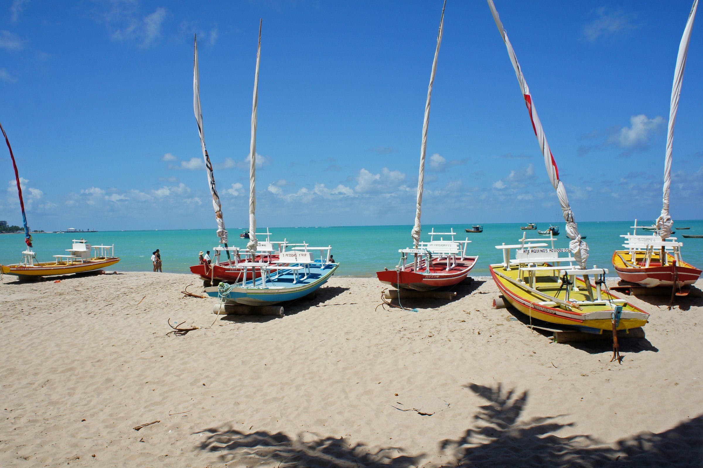
A waterfront neighborhood about 2 km from the city center, according to English-language Wikipedia. The reefs keep the sea calm near the shore. Near the Pajuçara craft fair, jangadas (traditional rafts) leave for the natural pools formed by the reefs. As in Maragogi, the trip depends on low tide.
Ponta Verde
Next to Pajuçara, with a wide waterfront for walking. Wikipedia mentions the Marco dos Corais (Coral Landmark), in Ponta Verde, as one of the city’s sights. It’s a good area for the first or last night of your trip.
Maceió’s northern coast
The north of the capital is already within the Costa dos Corais APA. ICMBio lists the beaches of Ipioca and Sauaçuí and natural pools in the area. If you drive to Maragogi along the coast, they’re on the way.
Going via the Milagres Ecological Route
An alternative is to travel along the coast, through São Miguel dos Milagres and Porto de Pedras. The total distance is similar, but the route has villages, a ferry across the Manguaba River and more stops. It works better as a day out than as a simple transfer.
A practical way to do it:
- Leave Maceió in the morning.
- Stop in São Miguel dos Milagres at low tide for the jangada pools.
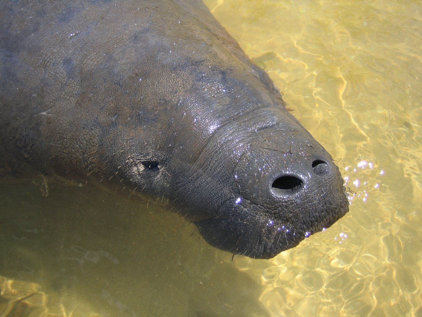
- Do the manatee trip at Tatuamunha, booked in advance.
- Cross on the ferry and arrive in Maragogi in the late afternoon.
See everything there is to see on this stretch in Milagres Ecological Route.
Accommodation: one base or two
A single base in Maragogi: less packing and more freedom with the tide. Maceió is just for arrival or departure.
Two bases: a few nights in Maceió and the rest in Maragogi. It makes sense if you want to explore the capital at leisure or have an early flight.
A day trip from Maceió to Maragogi is possible, but it’s over 4 hours on the road that day, and the tide doesn’t always cooperate. To choose an area to stay in, see where to stay in Maragogi.
Maceió at the start or at the end?
| Situation | Best order |
|---|---|
| Good low tide in the first few days | Maragogi first, Maceió at the end |
| Arrival flight at night | First night in Maceió, drive in daylight |
| Early return flight | Last night in Maceió, near the airport |
| Short trip, up to 4 days | Just Maragogi, with Maceió only as the airport |
Final tips
- Avoid driving at night on stretches you don’t know.
- Bring water and snacks: on the inland route there are long stretches between towns.
- Confirm flight times before booking tide-dependent trips on your last day.
- In the pools, whether in Maceió or Maragogi, don’t step on the coral and don’t feed the fish.
Frequently asked questions
How far is it between Maceió and Maragogi?
About 130 km. Wikipedia gives approximately 130 km, and OpenStreetMap's route calculation (OSRM) gives about 129 km to the Pajuçara waterfront, just over 2 hours by car without traffic.
How many days should I spend in Maceió and how many in Maragogi?
A common split is 2 days in Maceió and 3 to 5 in Maragogi. If you're only using the airport, you can go straight to Maragogi and leave Maceió for your last night.
Is it worth staying in Maceió and doing a day trip to Maragogi?
It's possible, but tiring: it's over 4 hours of driving round trip, and the galés depend on the tide. Sleeping in Maragogi leaves you free to choose the best day and time.
Where is Maceió airport?
Zumbi dos Palmares International Airport is in Rio Largo, in the metropolitan area, according to OpenStreetMap. To Maragogi, OSRM calculates about 128 km.
Keep reading
Keep planning
-
 From Maceió to Maragogi: Routes, Distance and Travel Time It's about 125 to 131 km. The fastest route cuts inland; the coastal route passes along the Ecological Route. Read guide
-
 How to Get to Maragogi: Airports, Roads and Transport Options Maceió and Recife are at similar distances from Maragogi. Here's how to choose your airport and transport. Read guide
-
 5-Day Maragogi Itinerary Five days make room to leave the municipality: a whole day on the Milagres Ecological Route, with jangada pools and manatees, plus Maragogi's pools. Read guide