Things to Do in Maragogi
The main tours and sights of Maragogi and the surrounding area, organized by what you want to do and the day's tide.
Updated on October 5, 2026 ✓ Information checked on October 5, 2026 adapted from the Portuguese original
In Maragogi, the tide sets the agenda. The most famous outings, such as the galés and Moses’ Path, only happen at low tide. So before choosing what to do, check the Maragogi tide table and plan your days.
The highlights
| Activity | Depends on the tide? | Where | Learn more |
|---|---|---|---|
| Galés (natural pools) | Yes, low tide | Offshore, about 4 to 5 km from the coast (Maragogi City Hall) | Galés of Maragogi |
| Moses’ Path | Yes, very low tide | Barra Grande | Moses’ Path |
| Northern beaches | Best at low tide | Antunes, Ponta de Mangue, Peroba | Maragogi beaches |
| Catamaran trip | Varies | Departures in the region | Catamaran trip |
| São Bento and the monastery | The sandbank, yes | South of the municipality | São Bento Beach |
| Manatees | Varies | Porto de Pedras, on the Coral Coast | Manatee sanctuary |
Natural pools: the galés, Taocas and Barra Grande
The galés are Maragogi’s postcard. According to Maragogi City Hall, they lie about 4 to 5 km offshore and appear at low tide, and visits are controlled to preserve the ecosystem. Boats leave from the town-center waterfront.
There are other groups of pools in the municipality, such as the Taocas natural pools and the Barra Grande natural pools. To decide, read which natural pool to choose.
Moses’ Path
At Barra Grande, at the lowest tides, a sandbank appears that stretches out to sea. According to Tribuna Hoje, you can walk about 800 meters along it. It happens with tides between -0.1 and 0.2 m, on 4 or 5 days a month. Head out about an hour before the lowest point of the tide.
Beaches
Maragogi’s coast runs from Peroba, on the Pernambuco border, to São Bento, by the Salgado River. The quietest beaches are to the north, such as Antunes. In the center is Maragogi Beach, with all the facilities. The full comparison is in Maragogi beaches.
Catamaran and boat trips
Besides the pools, the region offers a catamaran trip. Routes, times and prices vary by operator and tide. Only book with authorized operators. See the full list in Maragogi tours.
The Coral Coast and manatees
Maragogi lies inside the Costa dos Corais APA, a federal protected area created by decree on October 23, 1997. According to Associação Peixe-Boi, it covers 413,563 hectares along 135 km of coast. To the south, on the Tatuamunha River in Porto de Pedras, is the manatee sanctuary. On the way, the Milagres Ecological Route links villages and beaches in the region. Learn more in Costa dos Corais APA.
History
In São Bento are the ruins of a 17th-century monastery. Tribuna Hoje gives 1634 as the year it was built. Learn the background in history of Maragogi.
A rainy day or a diving day
Rained out? See Maragogi in the rain. For those who want to go beyond a mask, read diving in Maragogi.
Attractions mentioned
-
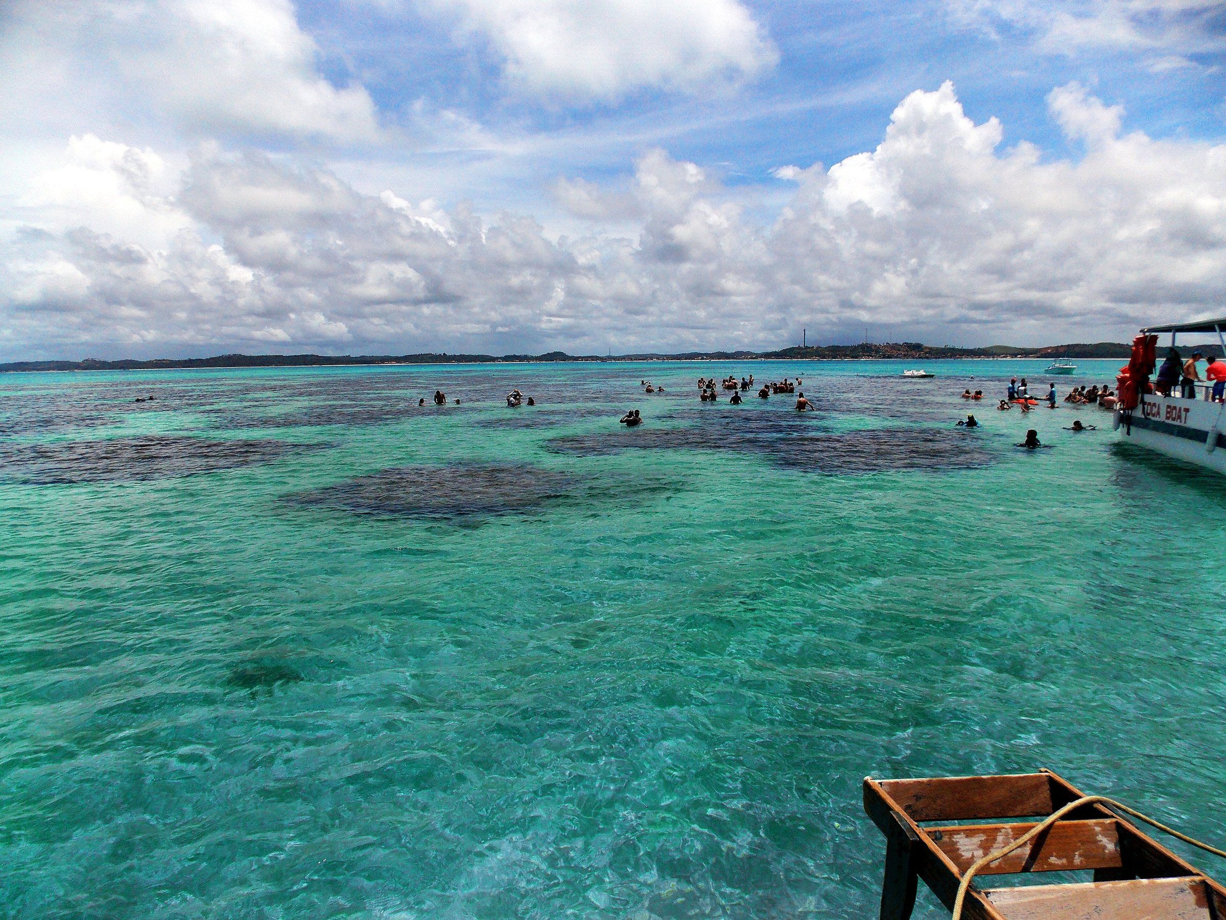 PaidTide-dependent Maragogi The Galés of Maragogi The galés are Maragogi's most visited reef complex. Visits are by boat, depend on low tide and follow ICMBio's rules inside the Costa dos Corais APA. See details
-
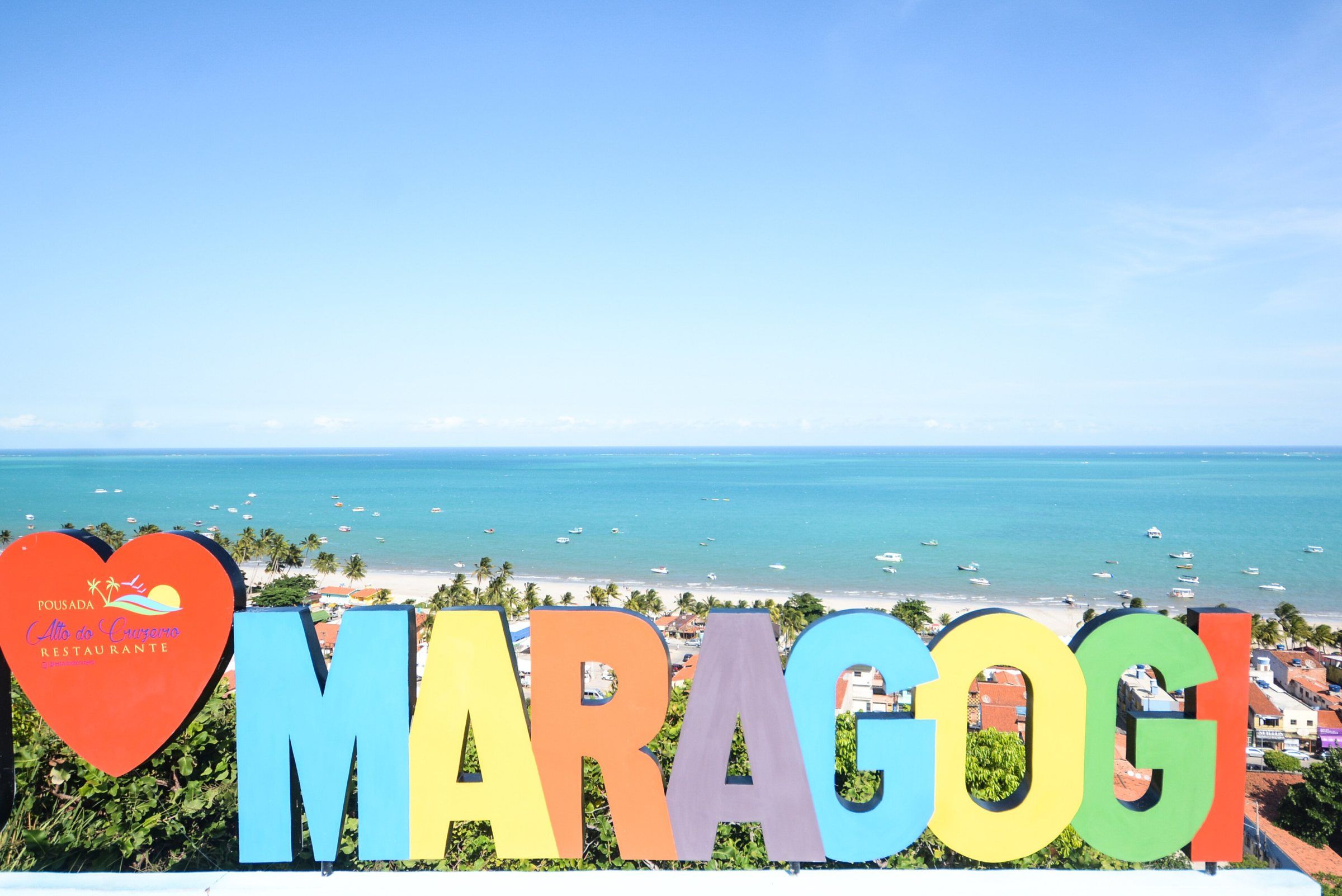 Free access Maragogi Maragogi Beach (Town Waterfront) Maragogi's town beach is where the bars, restaurants and accommodation are, and it's where the boats to the galés leave from. It's the base for most trips. See details
-
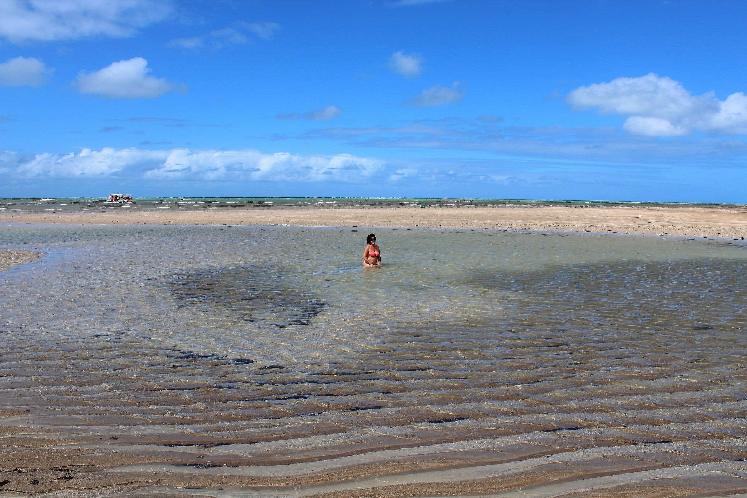 PaidTide-dependent Maragogi Taocas Natural Pools Taocas is one of Maragogi's three regulated reef pools, between Barra Grande and the galés. It has a lower boat limit than the galés and also depends on low tide. See details
-
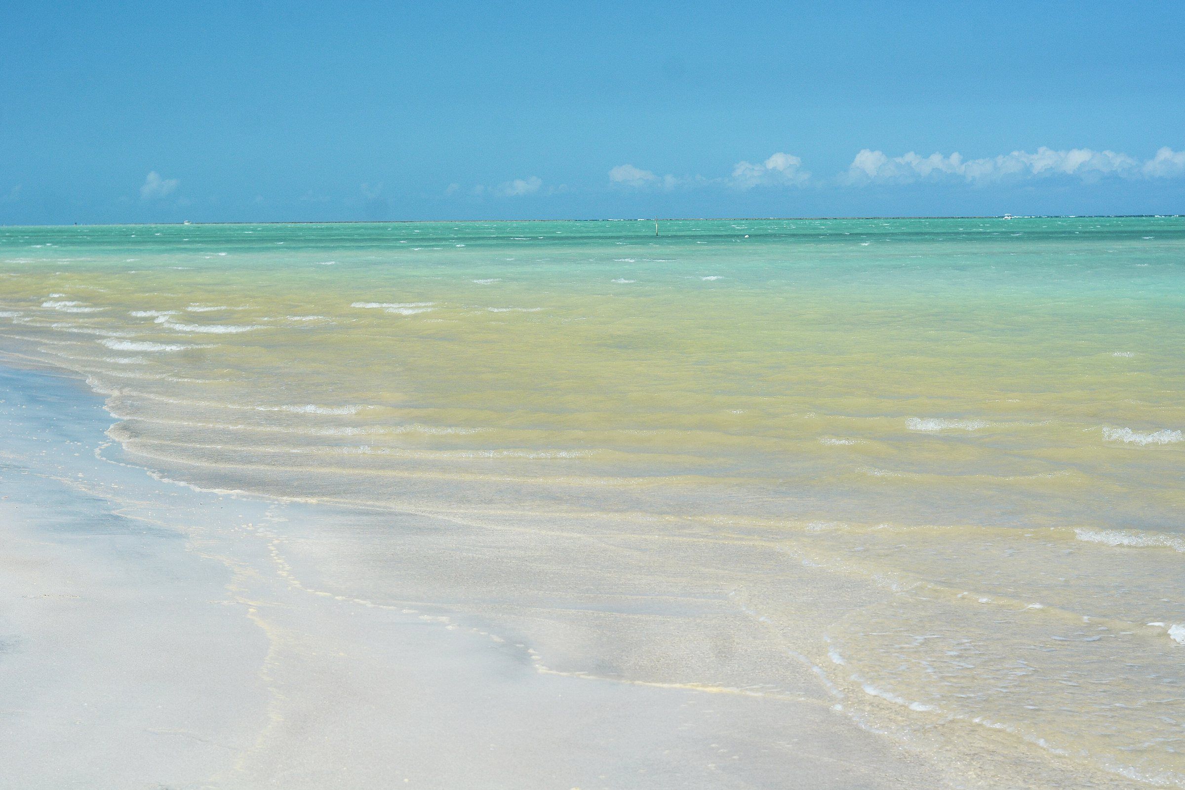 Free accessTide-dependent Maragogi Antunes Beach One of Maragogi's quietest beaches, in the Barra Grande district. At low tide, the warm, clear water lets you see the reefs up close. See details
-
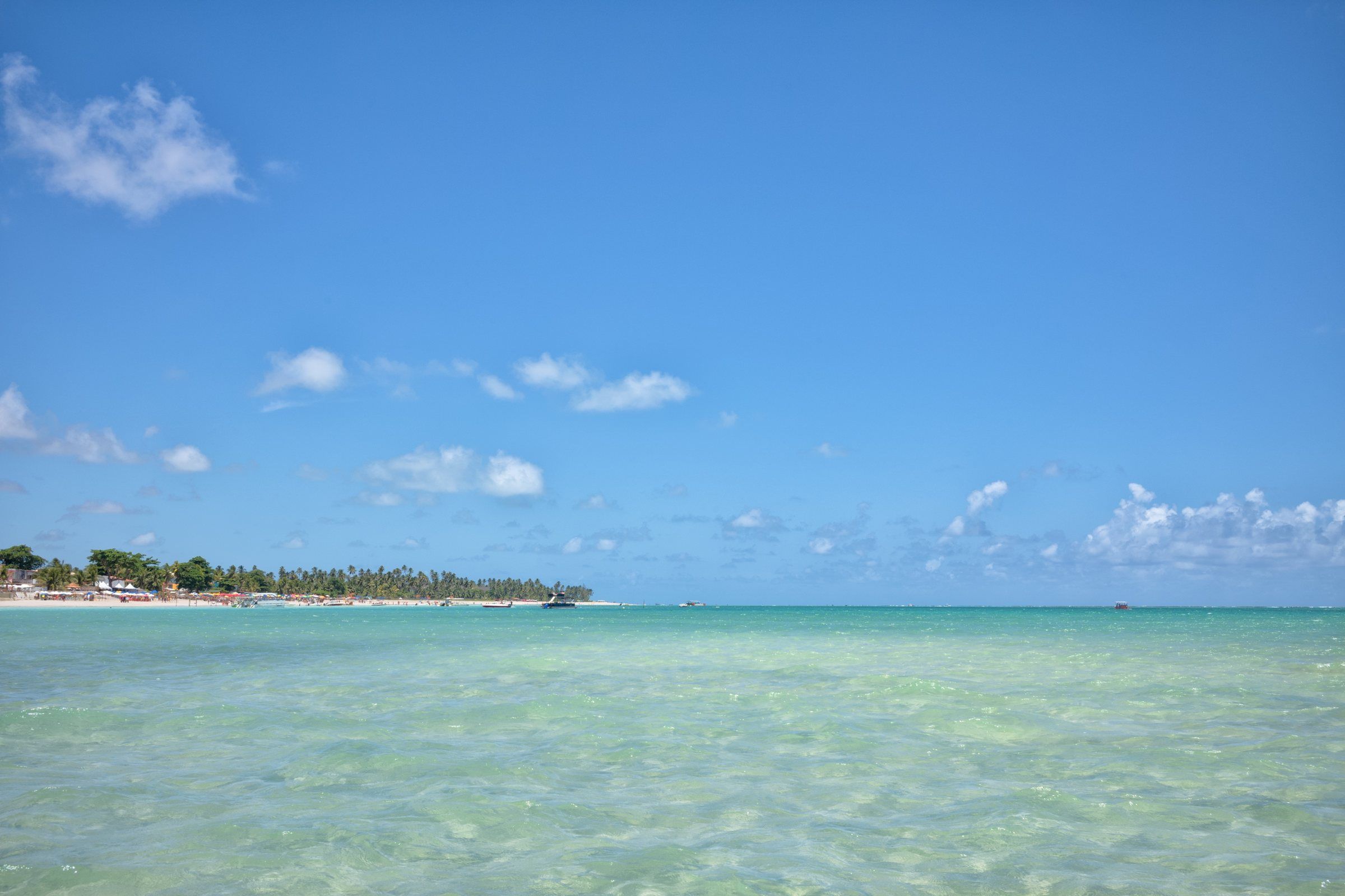 PaidTide-dependent Maragogi Barra Grande Natural Pools The Barra Grande Pool is one of three reef pools regulated by ICMBio in Maragogi. Don't confuse it with Barra Grande Beach or Moses' Path. See details
-
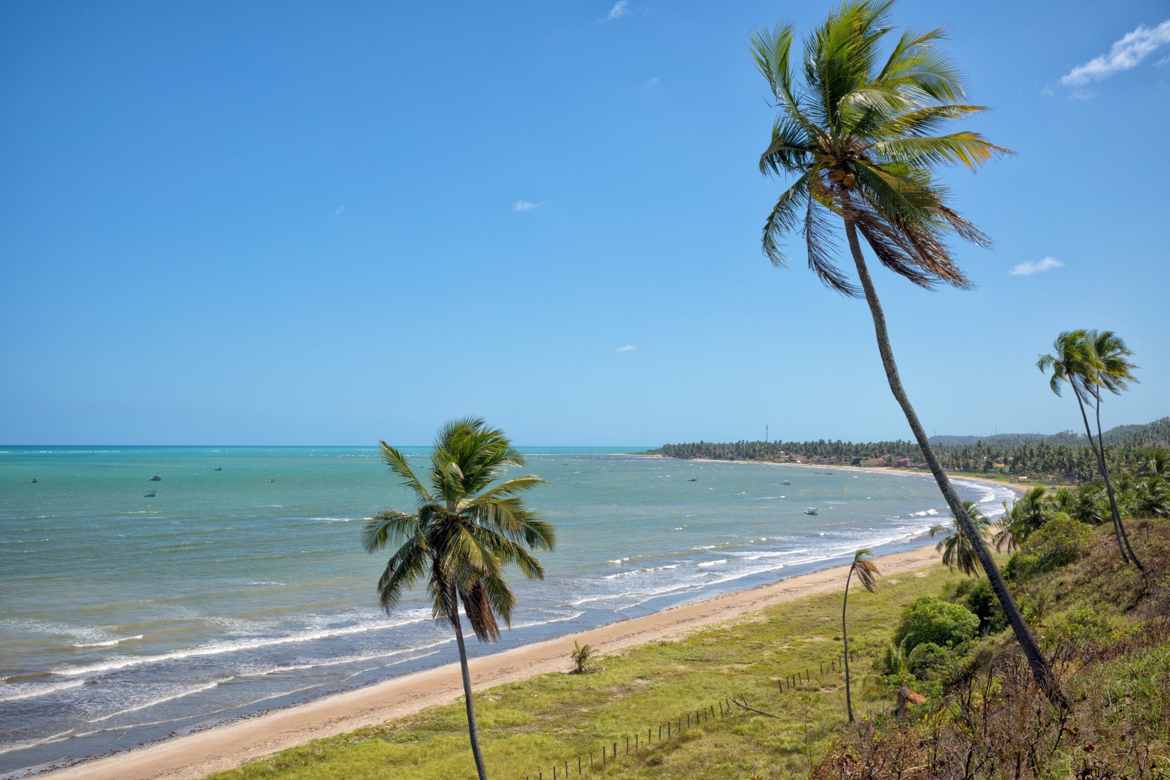 Free access Maragogi Burgalhau Beach The first beach north of the center, past the Rio dos Paus. It has light sand, coconut palms and a calm sea, and it's close enough to visit at a leisurely pace. See details
-
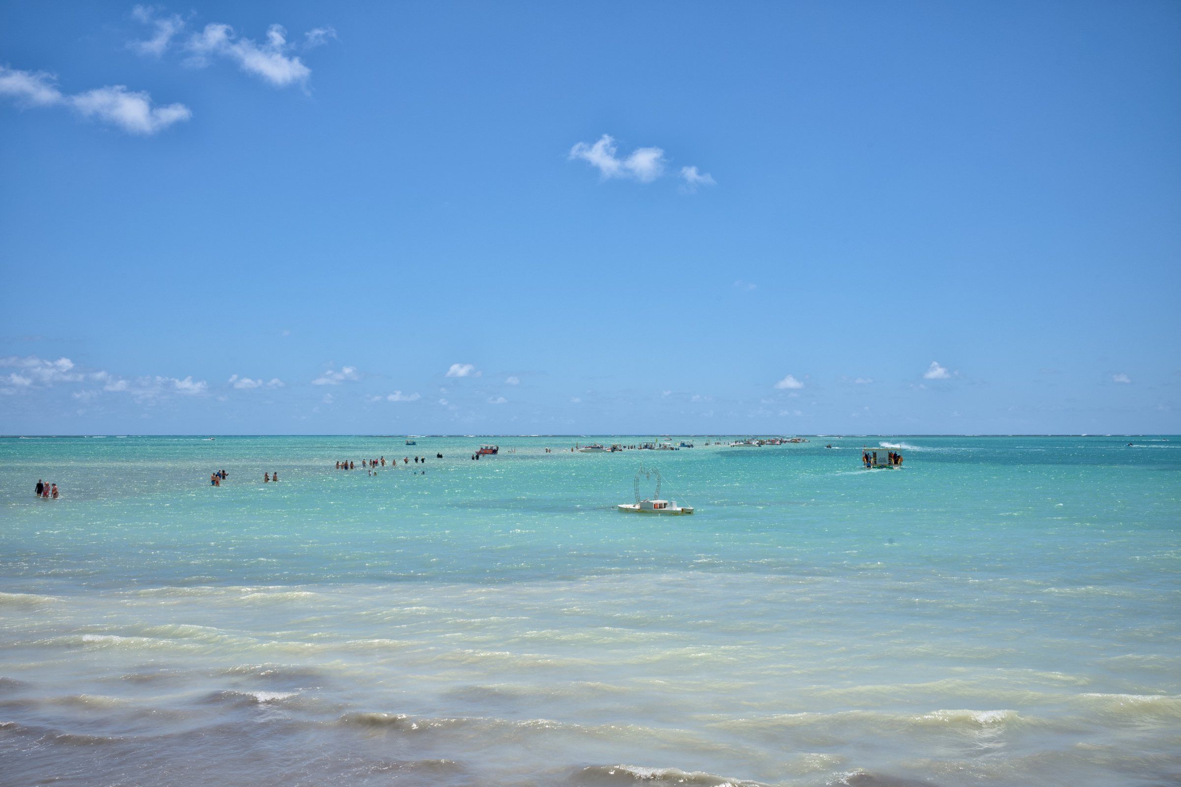 Tide-dependent Maragogi Moses' Path At very low tide, a sandbank appears on Barra Grande Beach and stretches out to sea. It's Moses' Path, which disappears again a few hours later. See details
-
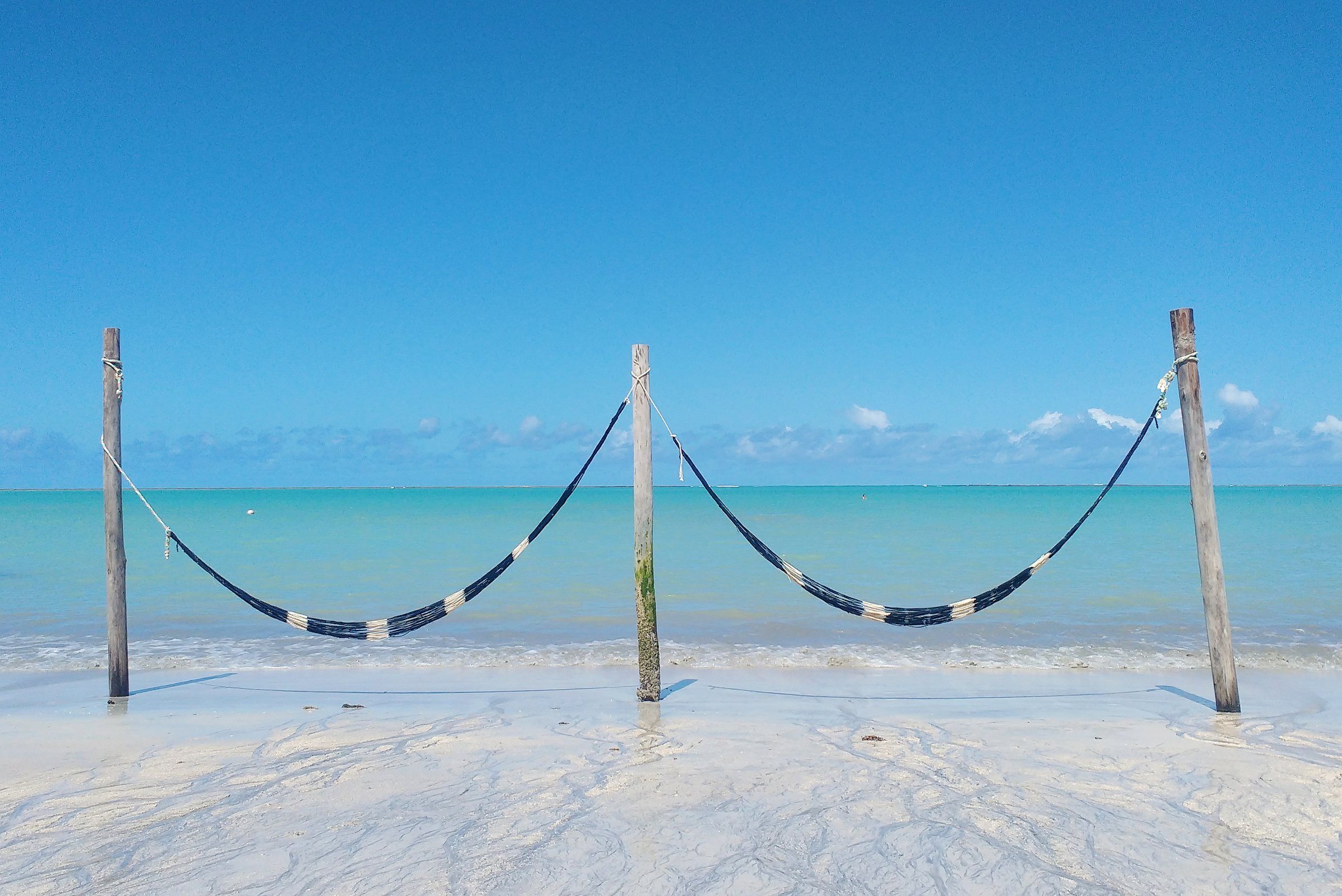 Free accessTide-dependent Maragogi Barra Grande Beach (Maragogi) A historic village in northern Maragogi and the starting point for Moses' Path, the sandbank that appears out at sea at the lowest tides. See details
-
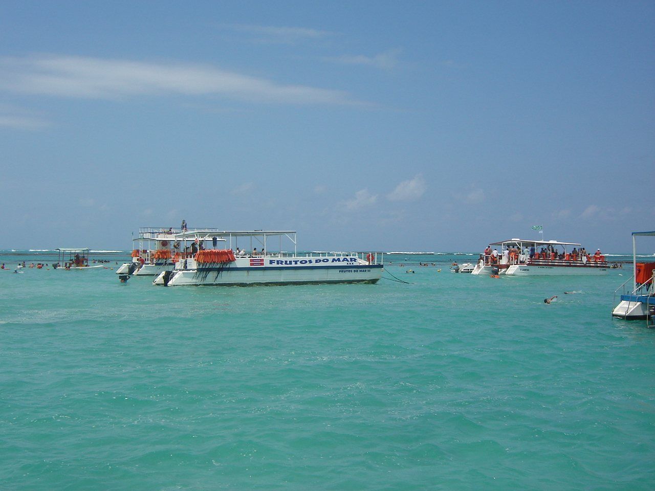 PaidTide-dependent Maragogi Catamaran Trip to the Natural Pools The catamaran is the highest-capacity boat at Maragogi's natural pools. See how the trip works, what limits ICMBio imposes and what to check before booking. See details
-
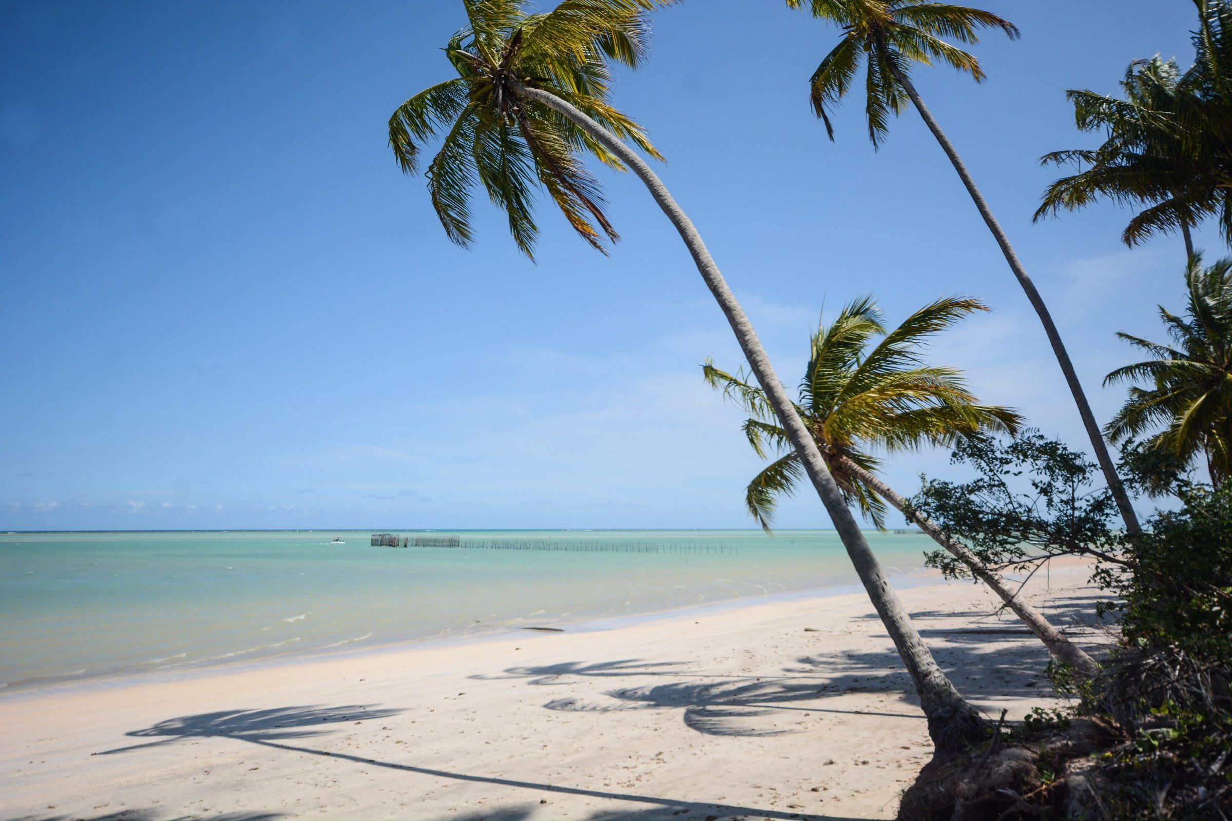 Free accessTide-dependent Maragogi Ponta de Mangue Beach At the far north of Maragogi, near the Pernambuco border. Calm water, coral reefs and colorful fish in view at low tide. See details
-
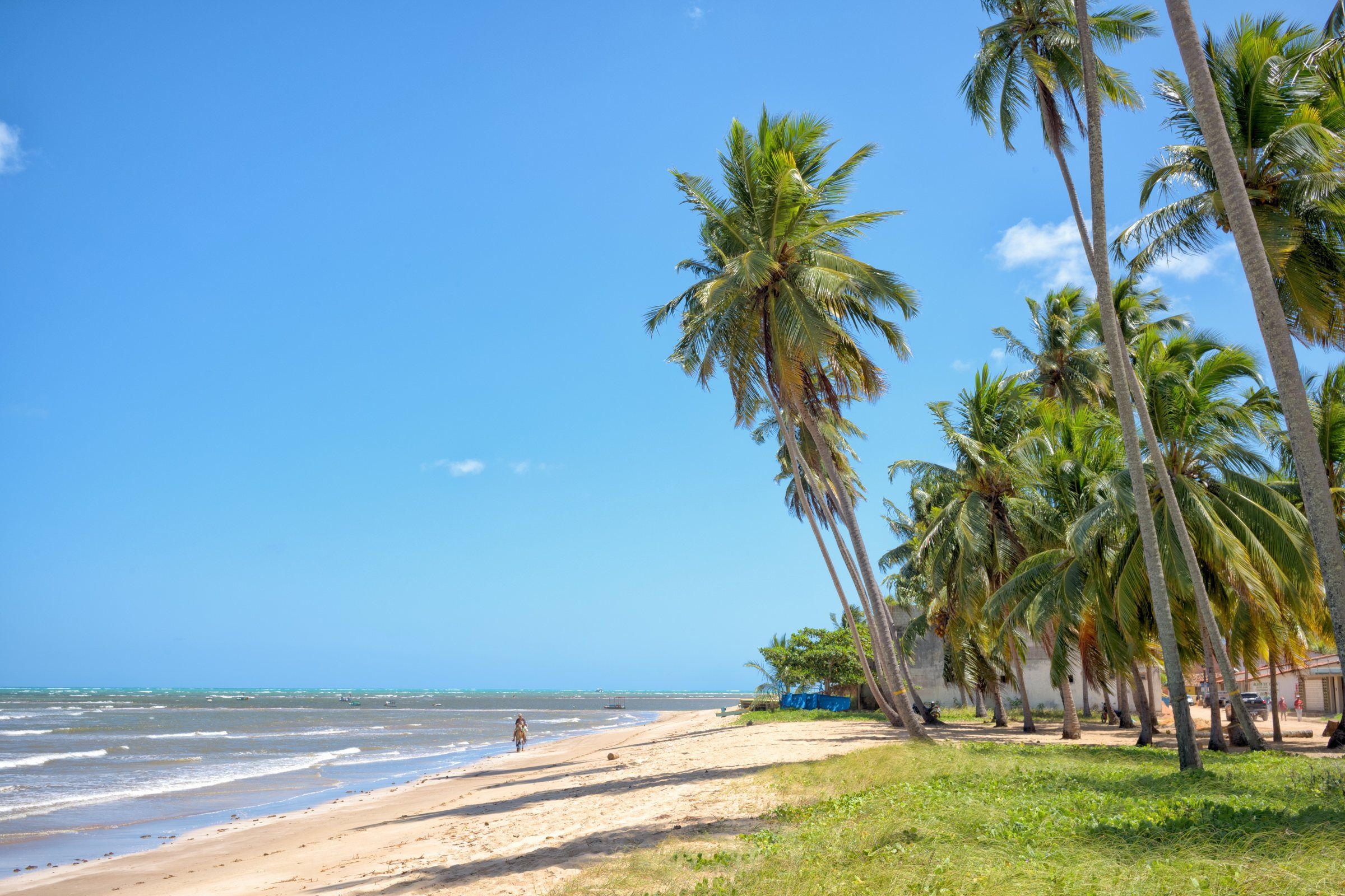 Free accessTide-dependent Maragogi São Bento Beach (Maragogi) A fishing village in southern Maragogi, by the Salgado River. It has the São Bento sandbank at low tide and the ruins of a 17th-century monastery. See details
-
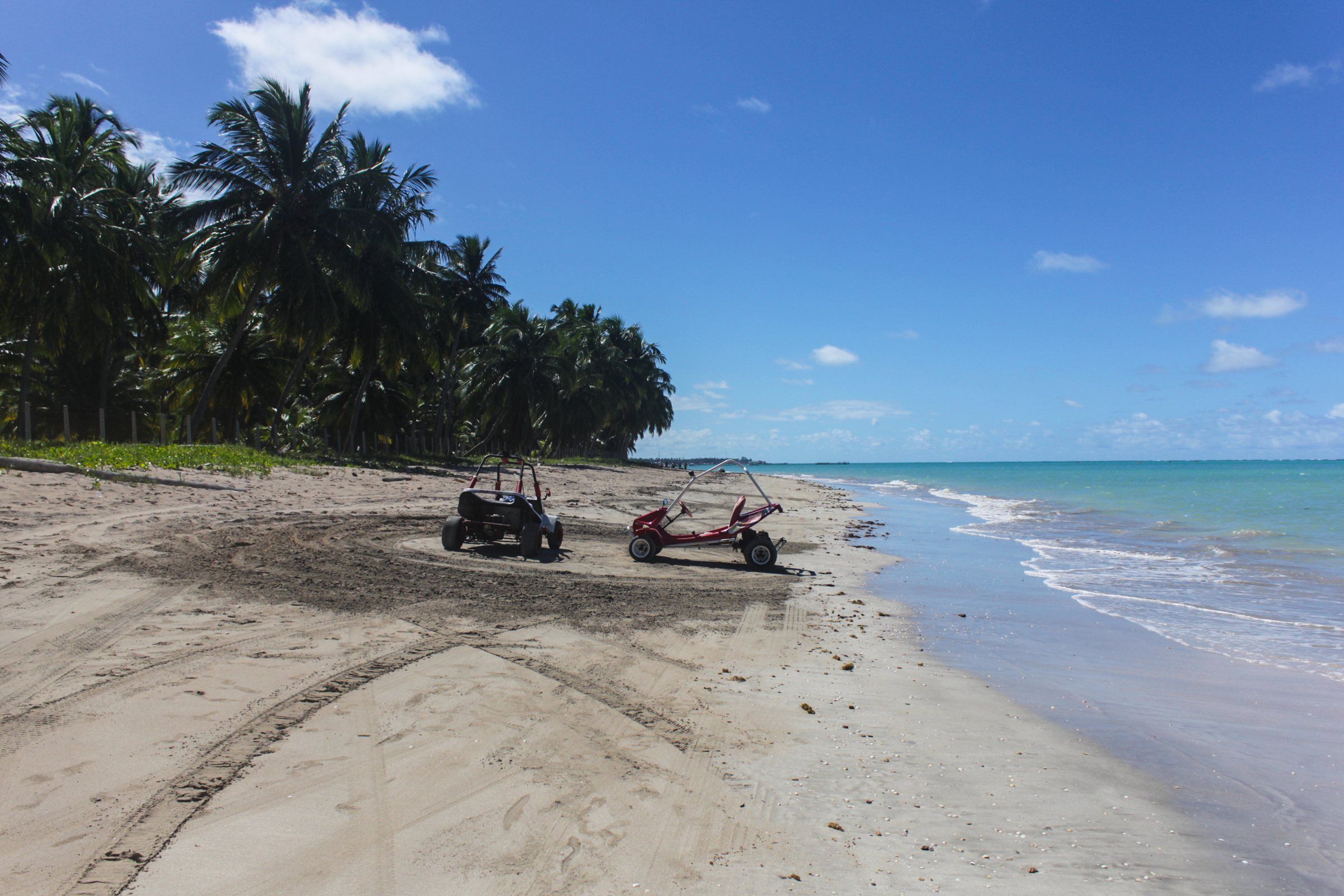 Free access Maragogi Peroba Beach Maragogi's northernmost beach, on the border with Pernambuco. Quiet on weekdays, good for families and for those who want to escape the crowds. See details
Things to do
In this section
-
 Maragogi in the Rain: When It Rains and What to Do Maragogi's rainiest months run from April to July. See the figures, how rain affects the tide-dependent trips and what to do when the weather turns. Read guide
-
 Diving in Maragogi: Snorkeling, Introductory Dives and Rules In Maragogi you can snorkel in the natural pools or do an introductory scuba dive. ICMBio sets where and how each activity can take place. Read guide
Frequently asked questions
What is the most famous tour in Maragogi?
The galés, natural pools that form at low tide about 4 to 5 km offshore, according to Maragogi City Hall. Visits are controlled to preserve the reefs.
Can I do everything without a car?
Boat trips leave from the waterfront and many operators offer transport. For the northern beaches and São Bento, a car, a ride-hailing app or a buggy make things easier.
How many days do I need to see Maragogi?
It depends on the tide. With 3 or 4 days, you can fit in the galés, the northern beaches and an outing along the Coral Coast. See the ready-made 2- to 7-day itineraries.
What can I do in Maragogi when the tide is high?
Wide sandy beaches, catamaran trips, buggy rides, the ruins of the São Bento monastery and outings along the Coral Coast. The natural pools are for low tide.
Keep reading
Keep planning
- Maragogi Tours Maragogi's tours revolve around the sea and the tide. See the documented options, what each one requires and where to find the official rules. Read guide
- Maragogi Beaches: From North to South A comparison of Maragogi's beaches, from the Pernambuco border to the Salgado River: where each one is, what the sea is like and who it suits. Read guide
-
 Maragogi Tide Table: How to Read It and Where to Check Maragogi's natural pools only open around low tide. Learn to read the Brazilian Navy's official forecast and choose the best day for the galés and Moses' Path. Read guide