Maragogi Beaches: From North to South
A comparison of Maragogi's beaches, from the Pernambuco border to the Salgado River: where each one is, what the sea is like and who it suits.
Updated on October 5, 2026 ✓ Information checked on October 5, 2026 adapted from the Portuguese original
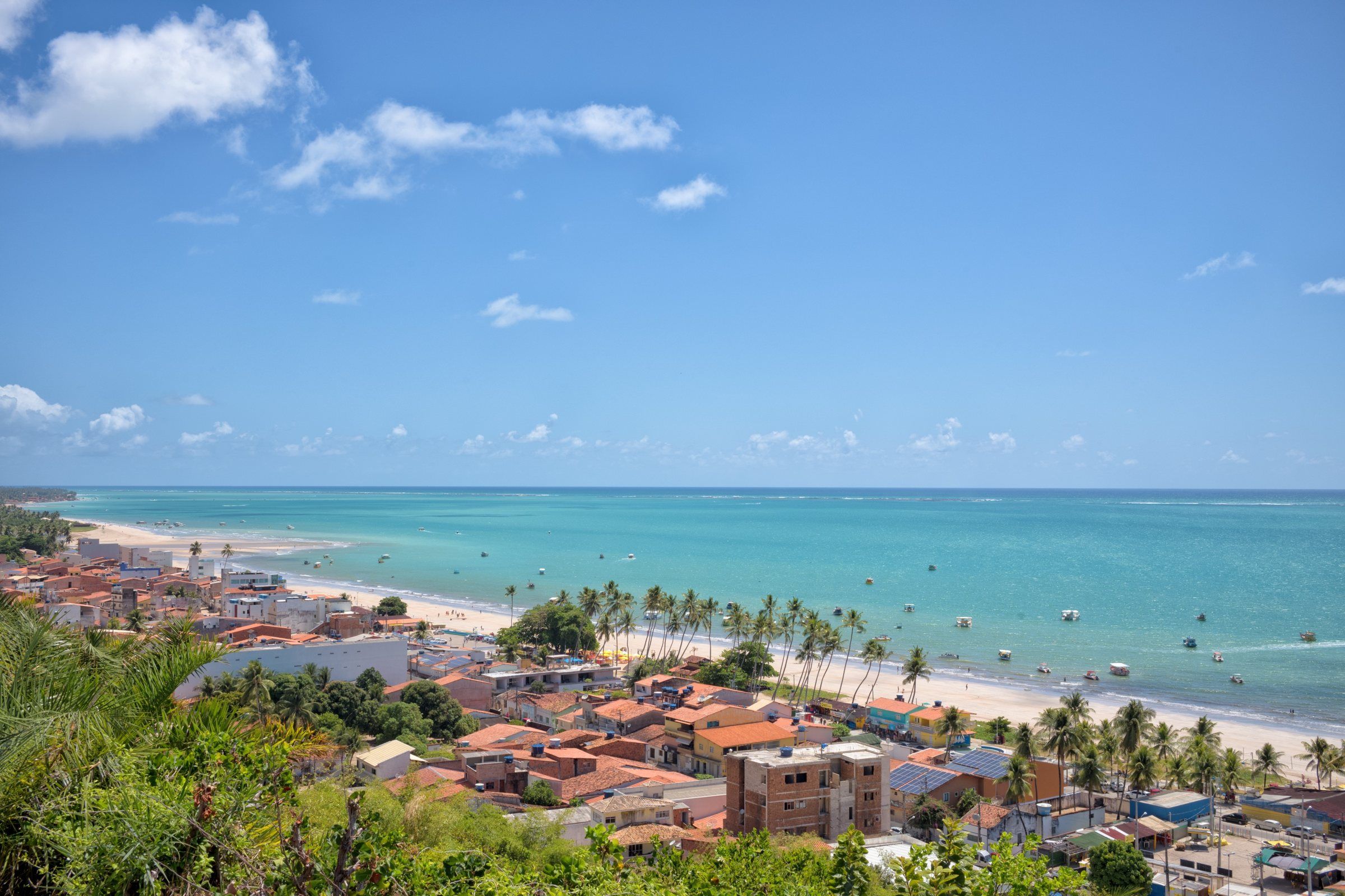
Maragogi has a long coastline protected by an almost continuous line of reefs. That’s why most of its beaches have calm water. What changes from one to the next are the facilities, the crowds and what appears at low tide.
The AL-101 highway links them all. AMA (the Association of Alagoas Municipalities) lists the sequence along the road: São Bento to the south, then Camacho, the town waterfront, Burgalhau, Barra Grande, Xaréu, Antunes, Dourado, Ponta de Mangue and Peroba, right on the border with Pernambuco.
Comparison from north to south
Approximate straight-line distances from the center, calculated with OpenStreetMap coordinates. By road, the distance is longer.
| Beach | Location | Profile | Best for |
|---|---|---|---|
| Peroba | Far north, on the PE border, about 10 km | Quiet, few facilities | Peace and quiet, families on weekdays |
| Ponta de Mangue | North, about 8 km | Reefs with fish at low tide | Fish-watching, relaxing |
| Antunes | North, about 6 km | Warm, clear water, one of the calmest | Rest, reefs at low tide |
| Barra Grande | North, village about 6 km away | Historic village, few beach facilities | Moses’ Path, natural pools |
| Burgalhau | Just north of the center, past the Rio dos Paus | Wide sand, coconut palms, calm sea | Those staying in the center who want more space |
| Maragogi Beach | Town center | Urban waterfront with services | Trip base, departures for the galés |
| São Bento | South, by the Salgado River, about 5 km | Fishing village, sandbank at low tide | Peace, history, the São Bento sandbank |
Xaréu, Dourado and Camacho are smaller beaches, mentioned by AMA and Tribuna Hoje. They don’t have their own page in this guide yet.
North: the beaches of the Barra Grande district
The municipality has two districts, Maragogi and Barra Grande, according to IBGE. The beaches north of Burgalhau are in the Barra Grande district, according to OpenStreetMap. This is the most sought-after area for peace and quiet.
At Barra Grande, Moses’ Path forms: the sandbank that appears at the lowest tides. Tribuna Hoje mentions tides between -0.1 and 0.2 m, on 4 or 5 days a month.
Center: the waterfront and the galés
The town waterfront is where most services are. It’s also where boats leave for the galés of Maragogi, which lie about 4 to 5 km offshore, according to Maragogi City Hall.
South: São Bento
After Camacho, at the mouth of the Maragogi River, comes São Bento. The village has the São Bento sandbank (croa), visited at low tide, and the ruins of a 17th-century monastery. On the other side of the Salgado River, Japaratinga begins. For neighboring beaches outside the municipality, see Coral Coast beaches.
How to choose
- Want everything within walking distance? Stay on the town waterfront. See where to stay in Maragogi.
- Want peace and quiet? Antunes, Ponta de Mangue and Peroba.
- Want Moses’ Path? Barra Grande, on a day with a very low tide.
- Want history? São Bento.
Remember: they are all inside the Costa dos Corais APA. Don’t step on the coral, don’t feed the fish and take your trash back with you.
Attractions mentioned
-
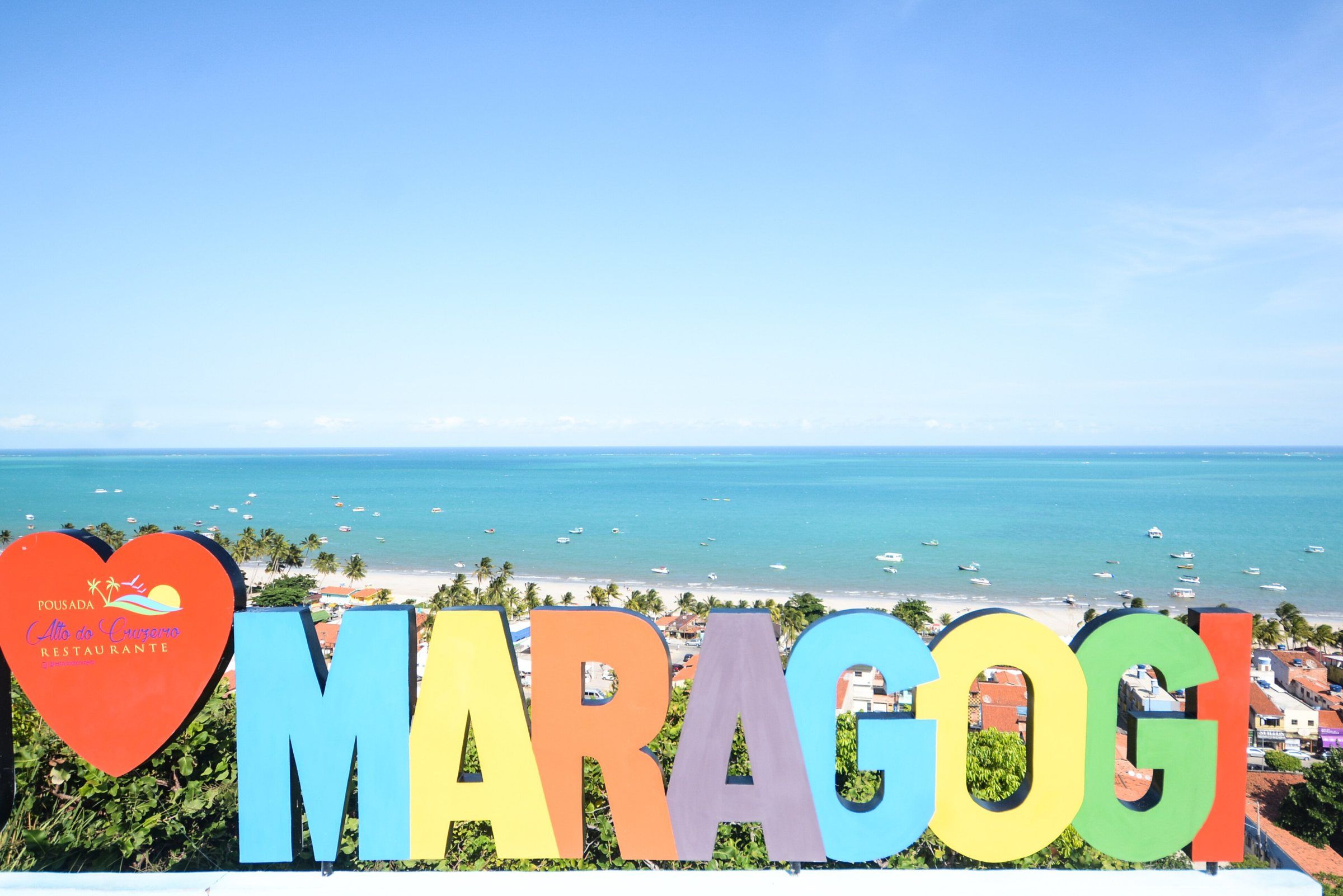 Free access Maragogi Maragogi Beach (Town Waterfront) Maragogi's town beach is where the bars, restaurants and accommodation are, and it's where the boats to the galés leave from. It's the base for most trips. See details
-
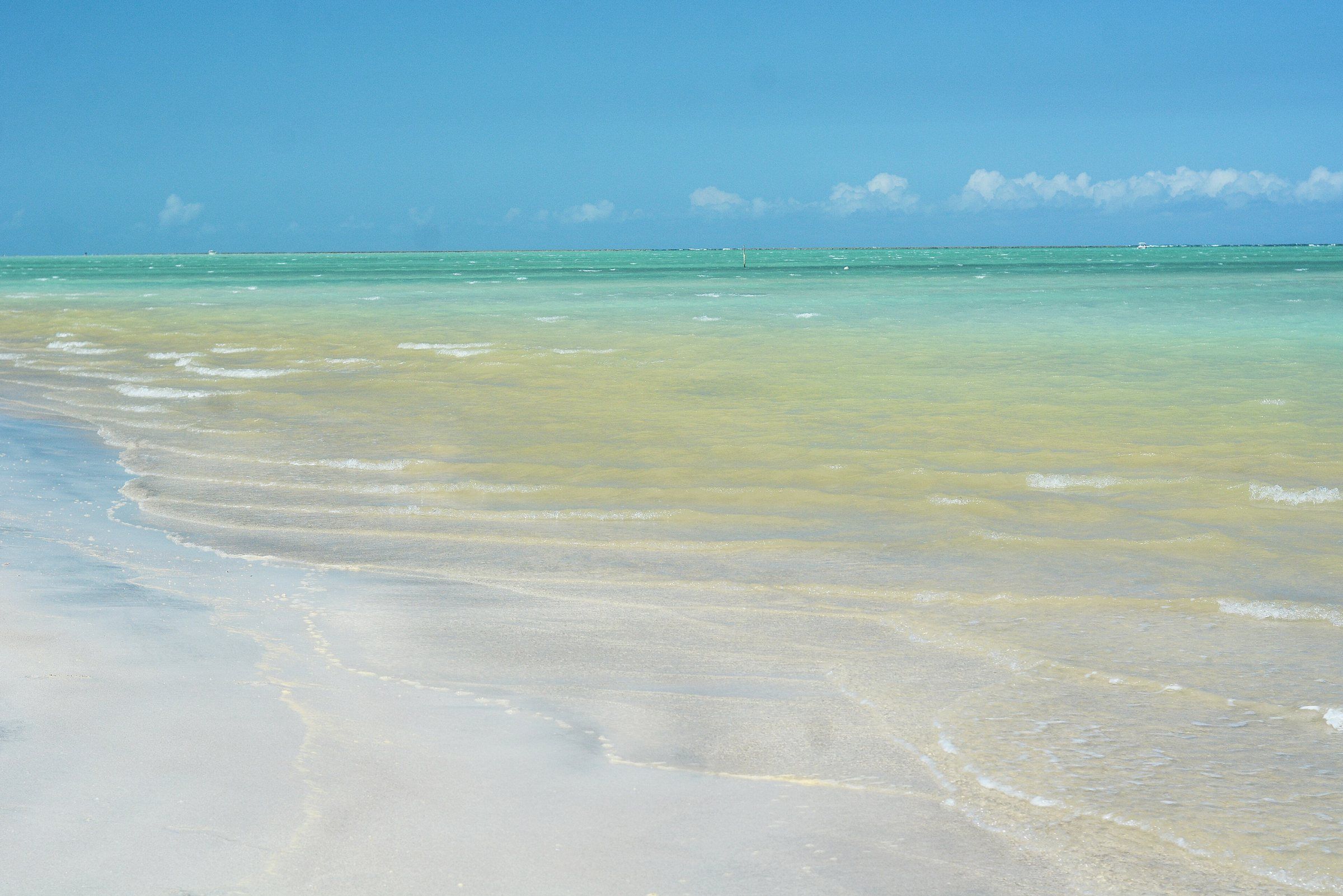 Free accessTide-dependent Maragogi Antunes Beach One of Maragogi's quietest beaches, in the Barra Grande district. At low tide, the warm, clear water lets you see the reefs up close. See details
-
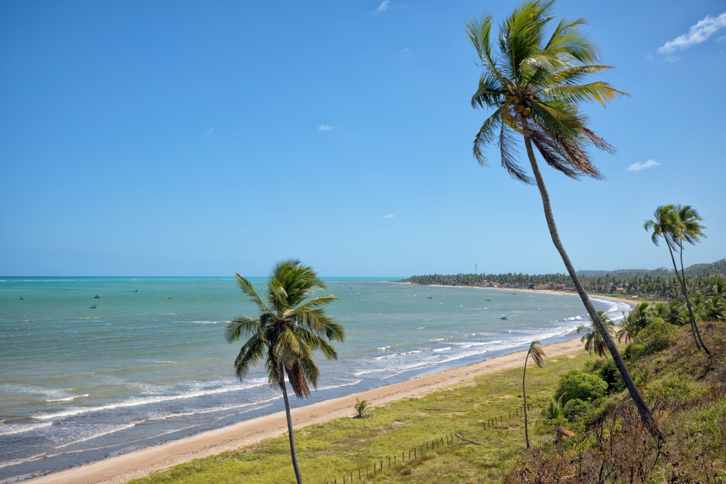 Free access Maragogi Burgalhau Beach The first beach north of the center, past the Rio dos Paus. It has light sand, coconut palms and a calm sea, and it's close enough to visit at a leisurely pace. See details
-
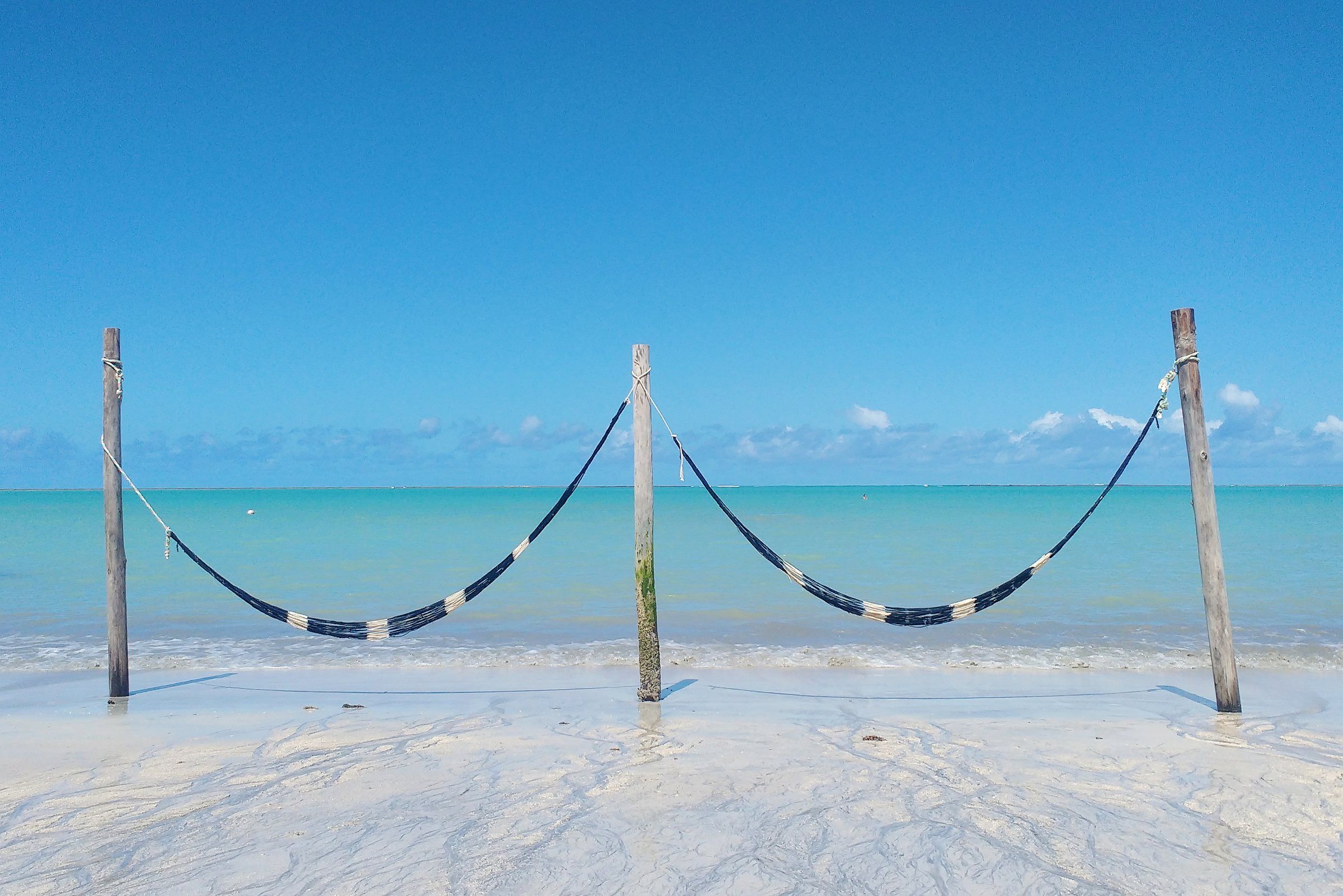 Free accessTide-dependent Maragogi Barra Grande Beach (Maragogi) A historic village in northern Maragogi and the starting point for Moses' Path, the sandbank that appears out at sea at the lowest tides. See details
-
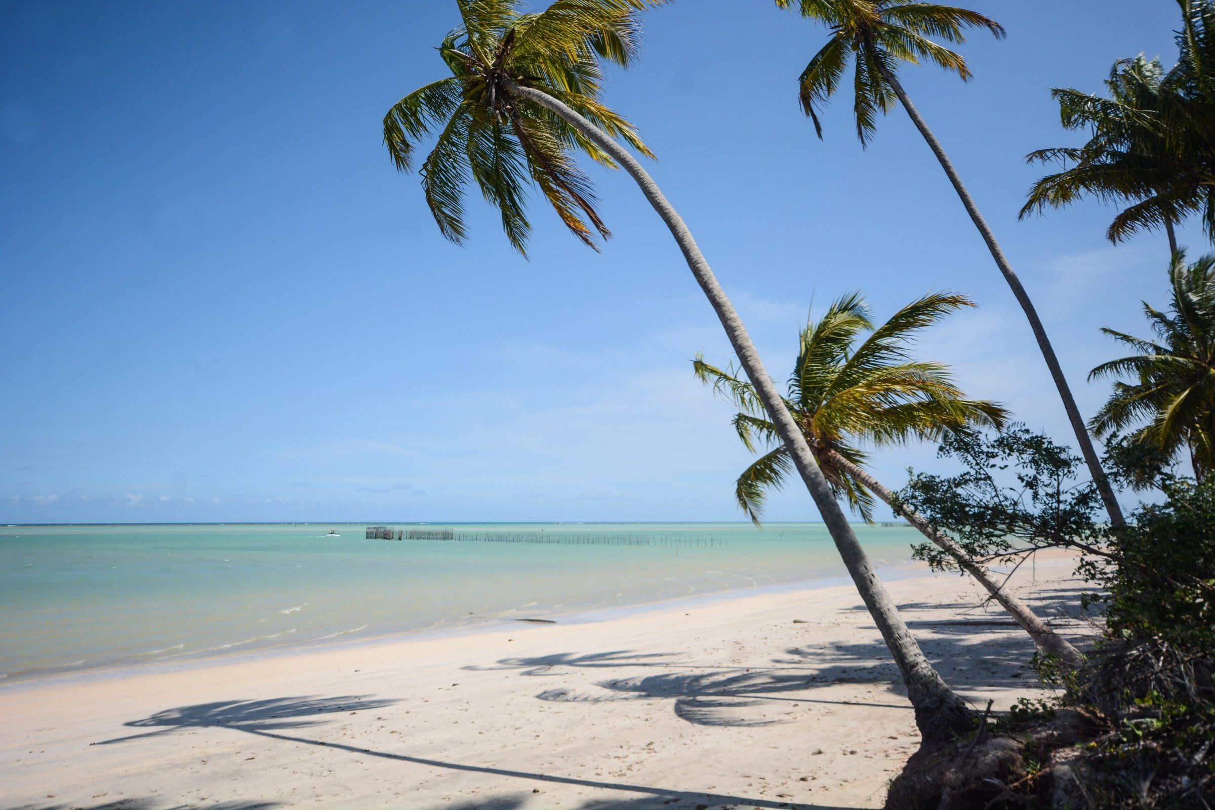 Free accessTide-dependent Maragogi Ponta de Mangue Beach At the far north of Maragogi, near the Pernambuco border. Calm water, coral reefs and colorful fish in view at low tide. See details
-
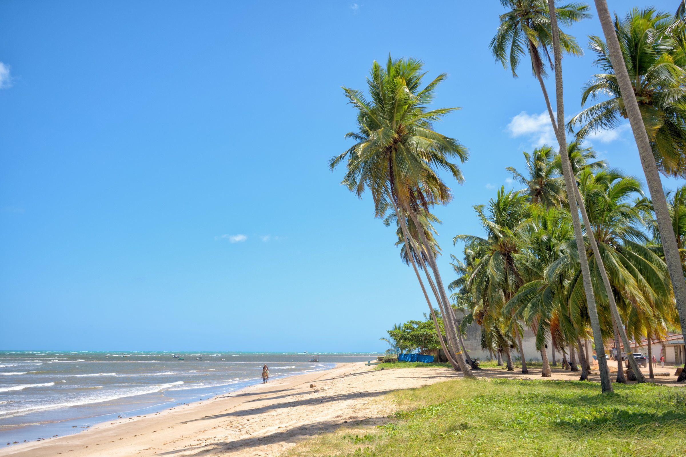 Free accessTide-dependent Maragogi São Bento Beach (Maragogi) A fishing village in southern Maragogi, by the Salgado River. It has the São Bento sandbank at low tide and the ruins of a 17th-century monastery. See details
-
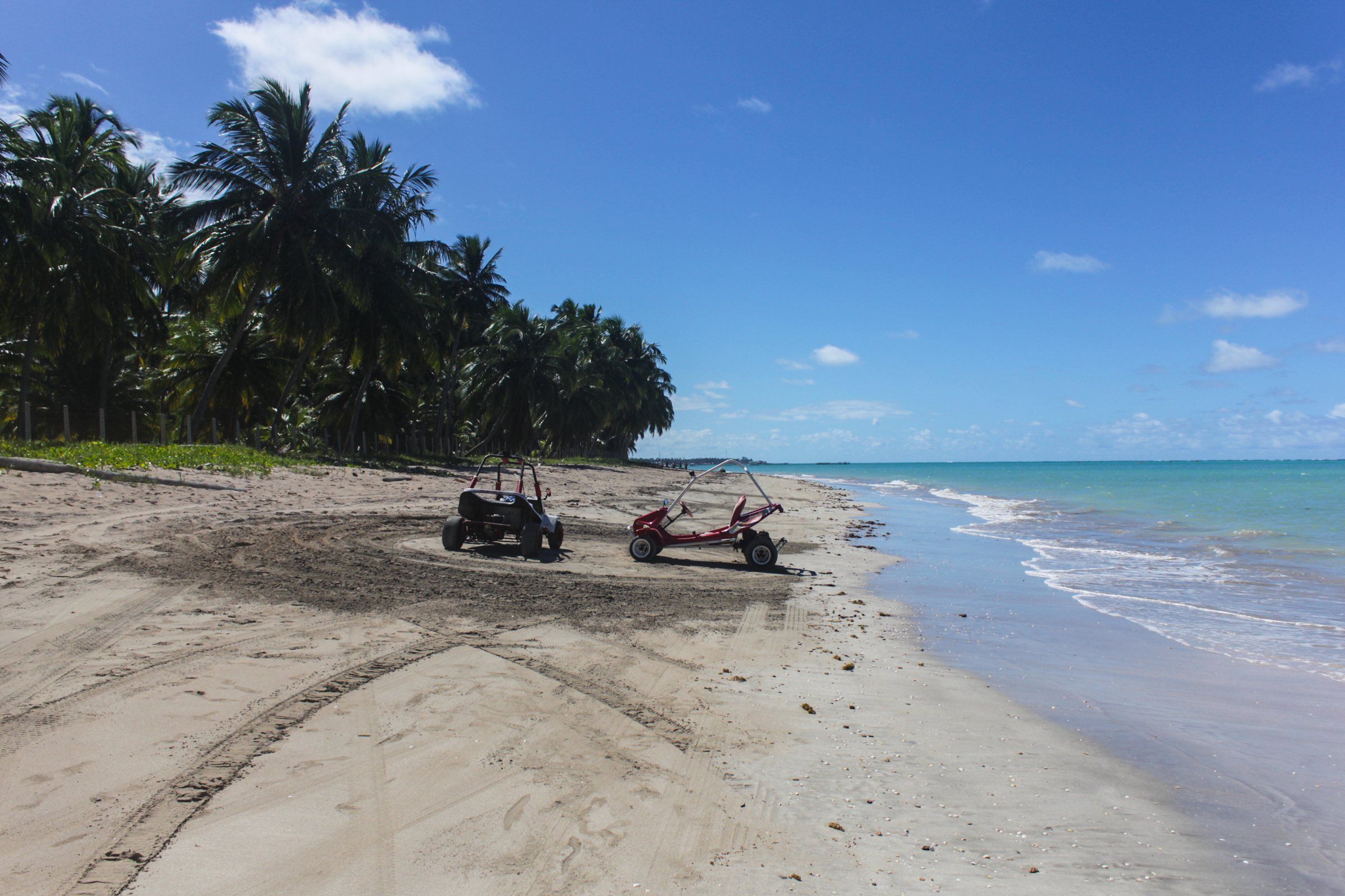 Free access Maragogi Peroba Beach Maragogi's northernmost beach, on the border with Pernambuco. Quiet on weekdays, good for families and for those who want to escape the crowds. See details
Beaches
In this section
Frequently asked questions
What is the quietest beach in Maragogi?
The northern beaches, such as Antunes, Ponta de Mangue and Peroba, are usually less busy. AMA describes Antunes as one of the quietest, and Tribuna Hoje mentions Peroba as peaceful on weekdays.
Which Maragogi beach has the most facilities?
The town waterfront, with bars, restaurants, accommodation and boats leaving for the galés. Burgalhau, just to the north, also has restaurants and hotels.
Where is Moses' Path?
At Barra Grande Beach, in the north of the municipality. It's a sandbank that appears at the lowest tides, according to Tribuna Hoje.
How many kilometers apart are Maragogi's beaches?
Based on OpenStreetMap coordinates, in a straight line, Peroba is about 10 km north of the center and São Bento about 5 km south. The others lie between these two points.
Keep reading
Keep planning
-
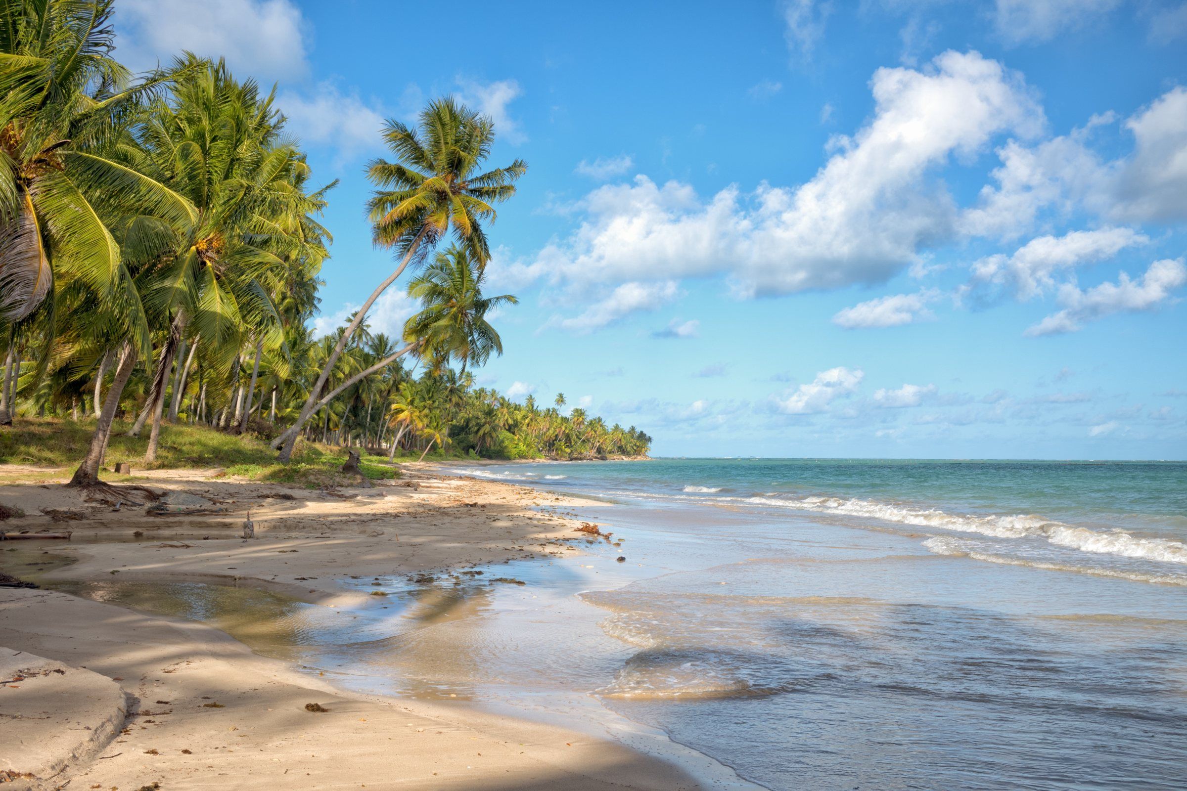 Coral Coast Beaches in Alagoas The beaches of the Costa dos Corais APA on the northern coast of Alagoas, from Maragogi to Maceió, with each one's profile according to ICMBio and the distances from Maragogi. Read guide
-
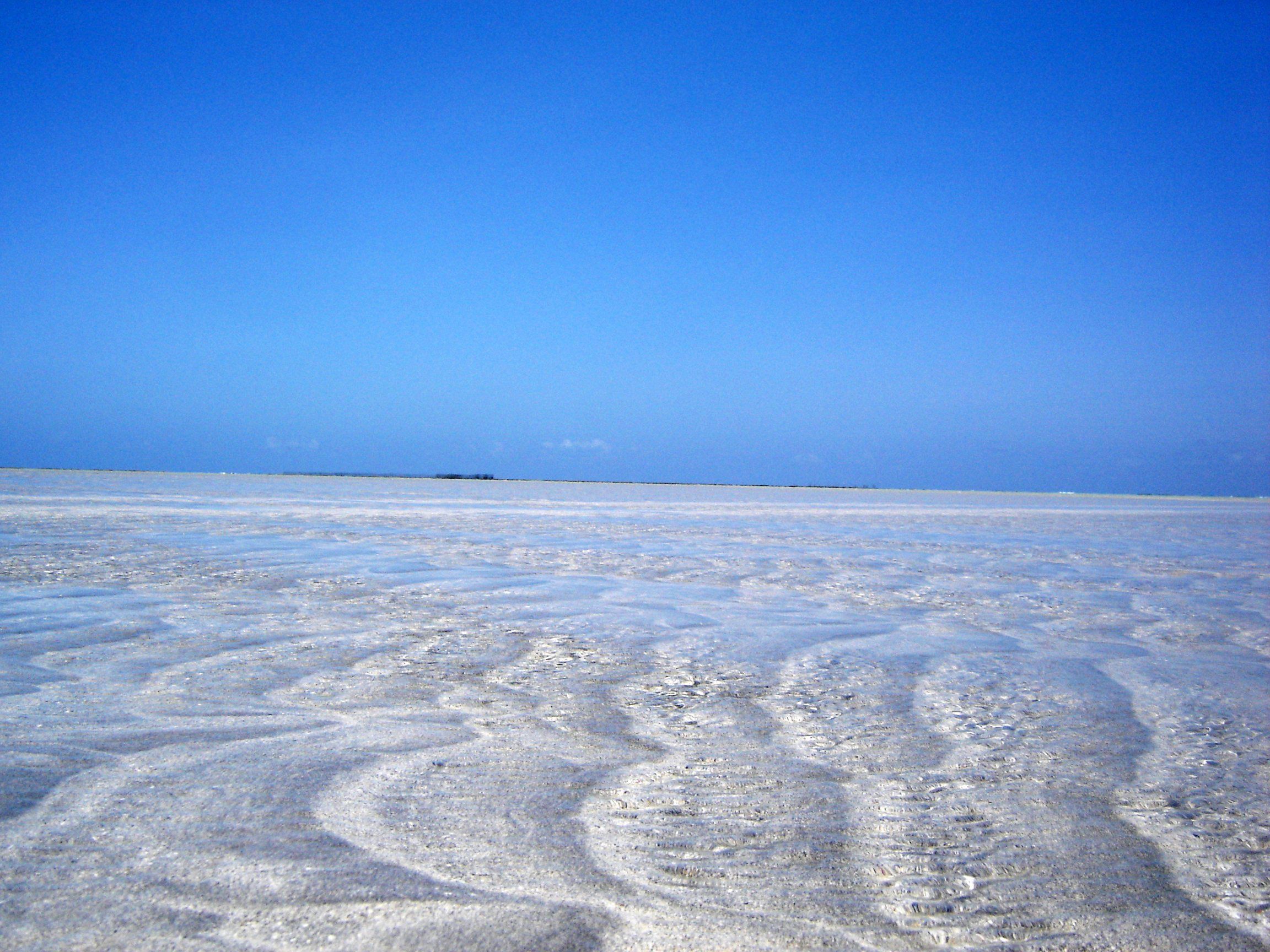 Maragogi Tide Table: How to Read It and Where to Check Maragogi's natural pools only open around low tide. Learn to read the Brazilian Navy's official forecast and choose the best day for the galés and Moses' Path. Read guide
-
 Where to Stay in Maragogi: Areas and How to Choose The center to do everything on foot, the northern beaches for peace and quiet, neighboring villages for exploring the Coral Coast. Read guide