- Type
- Beach
- Area
- Maragogi
- Free access
- Yes
- Depends on the tide
- Yes
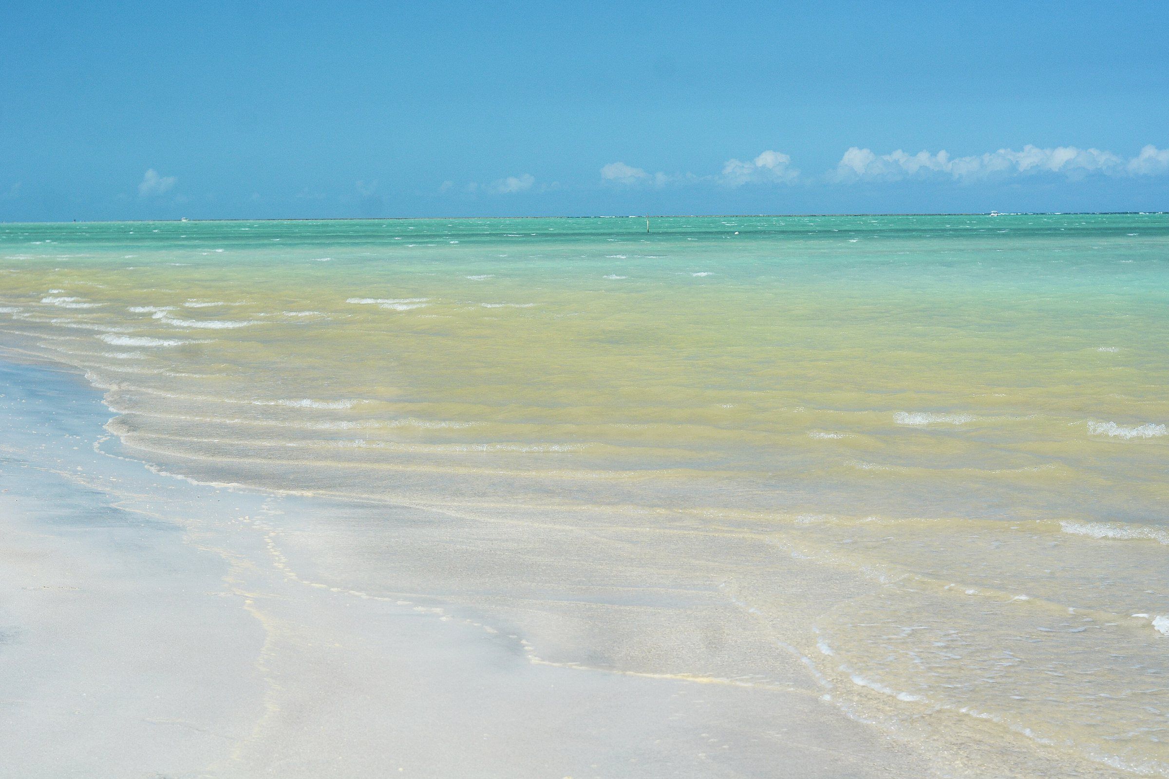
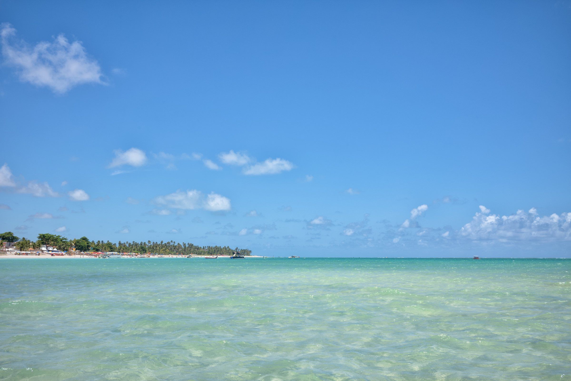
Antunes is the beach many people look for when they picture a quiet Maragogi. AMA (the Association of Alagoas Municipalities) calls it one of the quietest in the municipality, sought out for rest. Tribuna Hoje highlights its warm, clear water, ideal for seeing the coral reefs at low tide.
It lies in the north of the municipality, in the Barra Grande district. Maragogi has just two districts, Maragogi and Barra Grande, according to IBGE.
Antunes in numbers
| What | Figure | Source |
|---|---|---|
| Distance from the center | about 6 km to the north, in a straight line | calculated from OpenStreetMap coordinates |
| District | Barra Grande | OpenStreetMap and IBGE |
| Access | AL-101 Norte | AMA |
| Best time | low tide | Tribuna Hoje |
| Facilities | minimal | Tribuna Hoje |
What the beach is like
The sea at Antunes is protected by the reef barrier that runs along Maragogi’s coast. That’s why the waves arrive weak and the water is usually calm. At low tide, pools and shallow stretches form between the reefs, where you can see small fish.
The setting is light sand and coconut palms. Don’t expect an urban waterfront: the charm is precisely the calm. If you want bars and services within walking distance, the right base is Maragogi Beach, in the town center.
Where it is and how to get there
From the center, take the AL-101 Norte toward Pernambuco. AMA lists the sequence of beaches in that direction: Burgalhau, Barra Grande, Xaréu, Antunes, Dourado, Ponta de Mangue and Peroba.
- By car or ride-hailing app: the simplest way. Check on site where parking is allowed.
- By buggy: buggy tours of the north usually include Antunes along with the neighboring beaches.
See the routes from the airport in how to get to Maragogi.
When to go: the tide is in charge
Antunes changes a lot over the day. At low tide, the water is shallow and clear and the reefs appear. At high tide, the strip of sand narrows and the water covers the reefs.
Plan with the Maragogi tide table. On days with a very low tide, also consider Moses’ Path, at Barra Grande, which depends on the same kind of tide.
What to do at Antunes
- Swim in calm water, without strong surf.
- Watch fish with a mask, at low tide, without stepping on the reefs.
- Walk along the sand to the neighboring beaches, always keeping an eye on the rising tide.
- Rest: that’s what the beach is for.
Neighbors for the same day
Antunes lies between Barra Grande and Ponta de Mangue. The three combine well on a tour of the north. Farther up is Peroba, on the border with Pernambuco. The full picture is in Maragogi beaches.
Environmental and safety precautions
Antunes lies inside the Costa dos Corais APA, the federal protected area that safeguards the region’s reefs.
- don’t step on or touch the coral;
- don’t feed the fish;
- don’t take shells or animals;
- pick up all your trash.
Practical tips
- Go at low tide: that's when the water is shallowest and the reefs appear near the sand.
- Bring a snorkeling mask to watch the fish without standing on the coral.
- Arrive early on public holidays and in high season: the beach is popular precisely because it's calm.
- Combine it with Ponta de Mangue and Barra Grande on the same day, by car or buggy along the AL-101 Norte.
Frequently asked questions
Where is Antunes Beach?
In the north of the municipality of Maragogi, in the Barra Grande district, about 6 km in a straight line from the town center, according to OpenStreetMap coordinates. Access is via the AL-101 Norte.
What is the best tide for Antunes?
Low tide. According to Tribuna Hoje, that's when the warm, clear water lets you see the coral reefs. Check the tide table before you go.
Does Antunes have facilities?
Few. Tribuna Hoje mentions small support facilities. AMA describes it as one of Maragogi's quietest beaches, sought out for rest.
Is Antunes Beach free?
Yes. Every Brazilian beach is public property for common use, with free access guaranteed by Law 7,661/1988. Support services, such as chairs and parking, may be charged separately.
Combine with
-
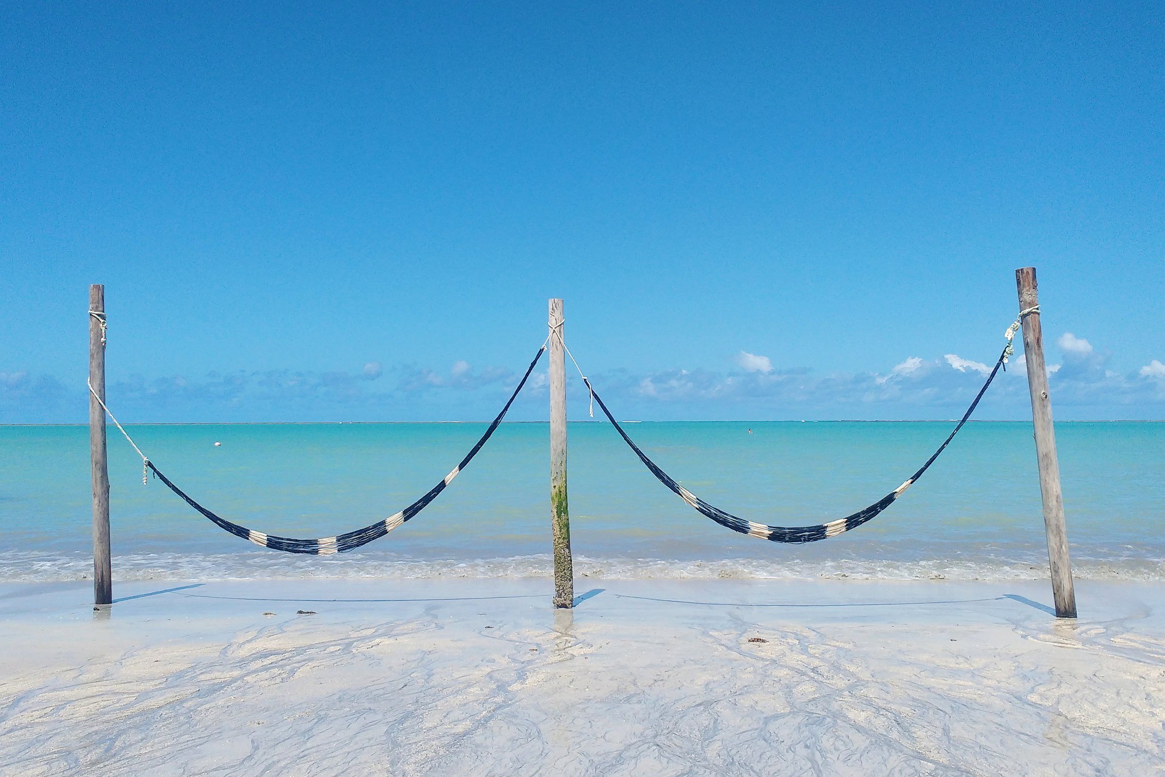 Free accessTide-dependent Maragogi Barra Grande Beach (Maragogi) A historic village in northern Maragogi and the starting point for Moses' Path, the sandbank that appears out at sea at the lowest tides. See details
-
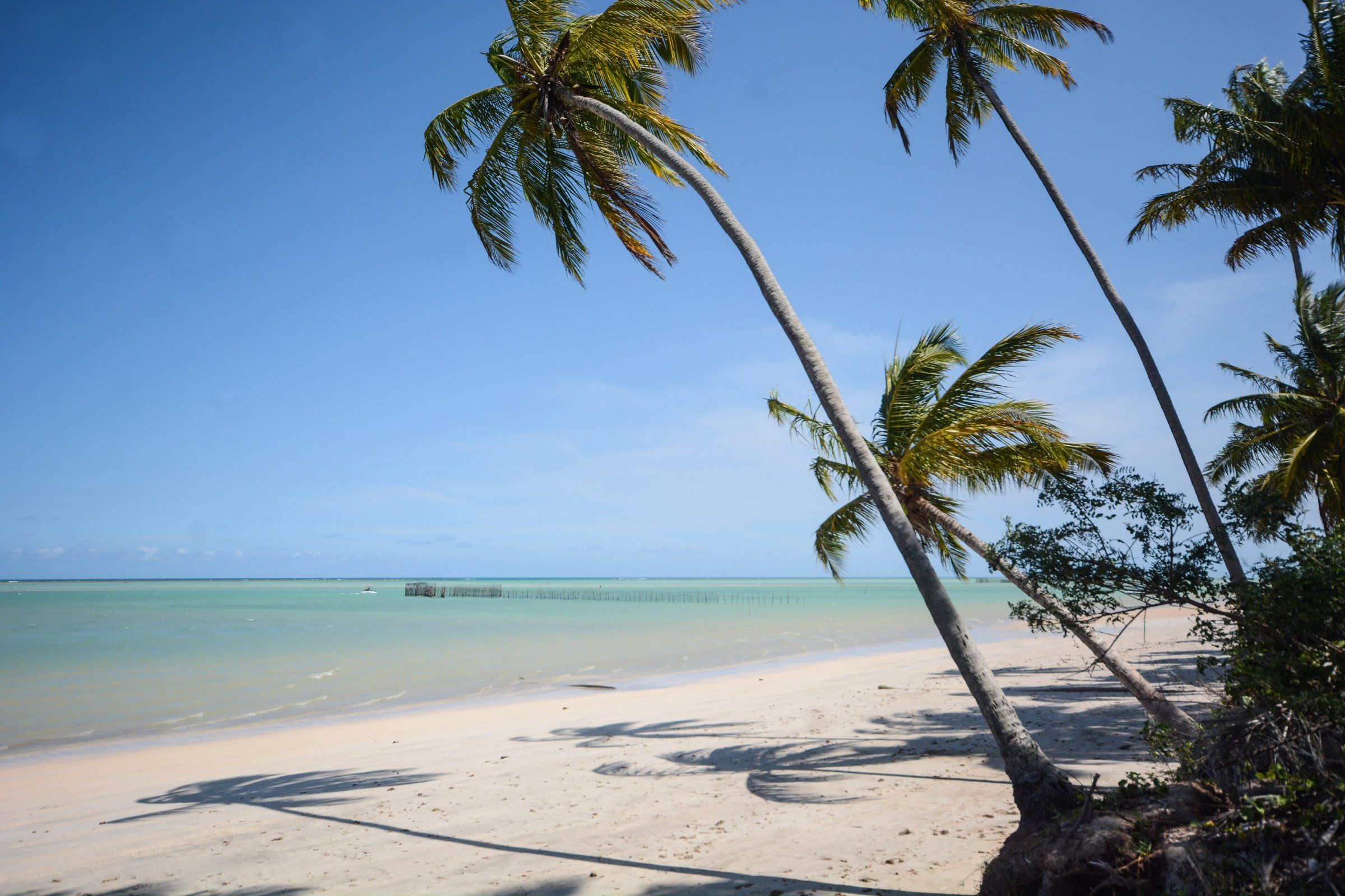 Free accessTide-dependent Maragogi Ponta de Mangue Beach At the far north of Maragogi, near the Pernambuco border. Calm water, coral reefs and colorful fish in view at low tide. See details
-
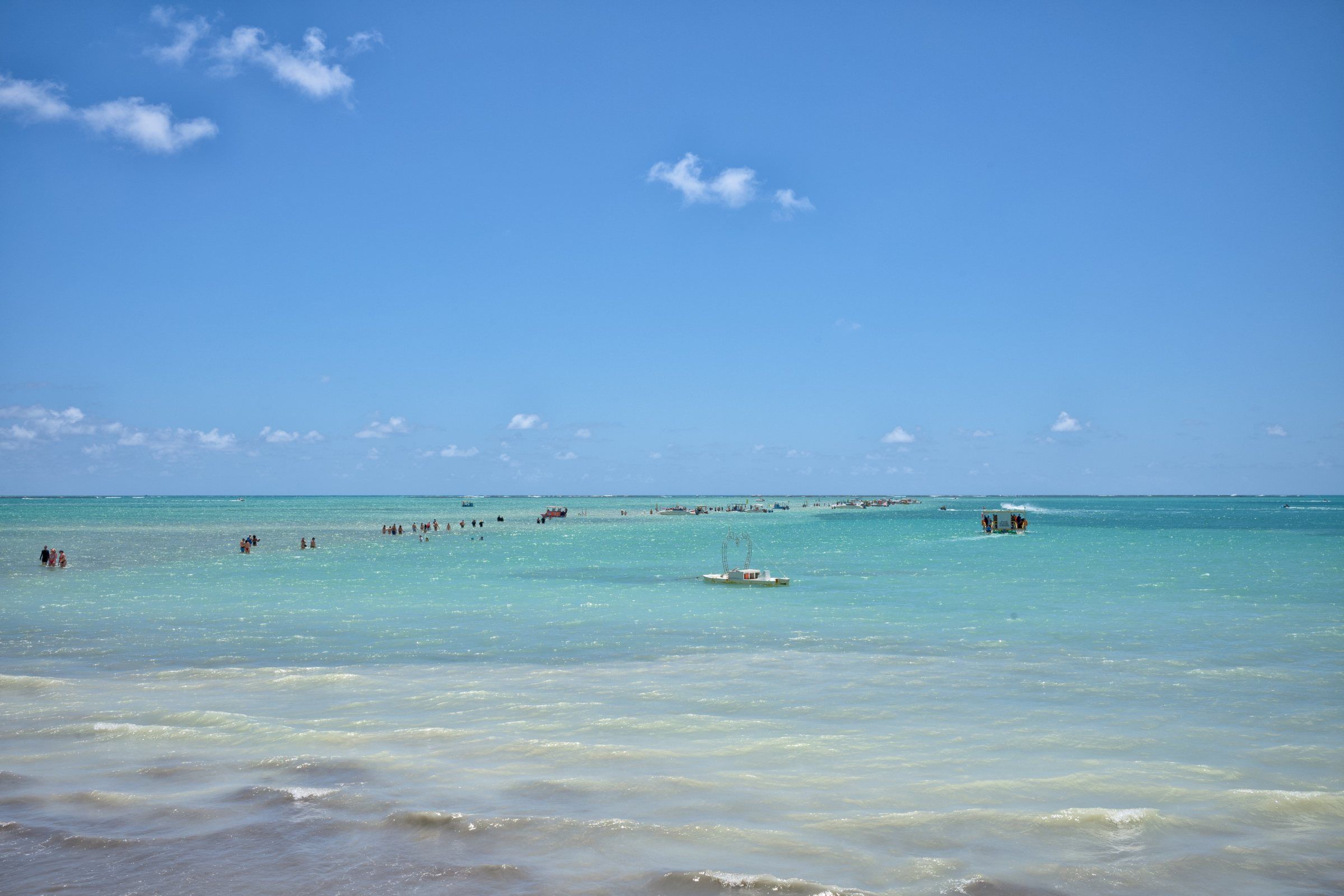 Tide-dependent Maragogi Moses' Path At very low tide, a sandbank appears on Barra Grande Beach and stretches out to sea. It's Moses' Path, which disappears again a few hours later. See details
-
 PaidTide-dependent Maragogi Barra Grande Natural Pools The Barra Grande Pool is one of three reef pools regulated by ICMBio in Maragogi. Don't confuse it with Barra Grande Beach or Moses' Path. See details