Plan
History of Maragogi: From the Village of Gamela to Tourism
From a settlement called Gamela to the leading destination on Alagoas' northern coast: Maragogi's name, dates, wars and economy.
Updated on October 5, 2026 ✓ Information checked on October 5, 2026 adapted from the Portuguese original
Maragogi is today the name that drives tourism on the northern coast of Alagoas. But the town began as a small settlement called Gamela, in a region shaped by sugarcane, fishing and the wars of the colonial period.
This page brings together what public sources record: the origin of the name, the dates of the municipality’s formation, historical episodes and the economy.
The origin of the name
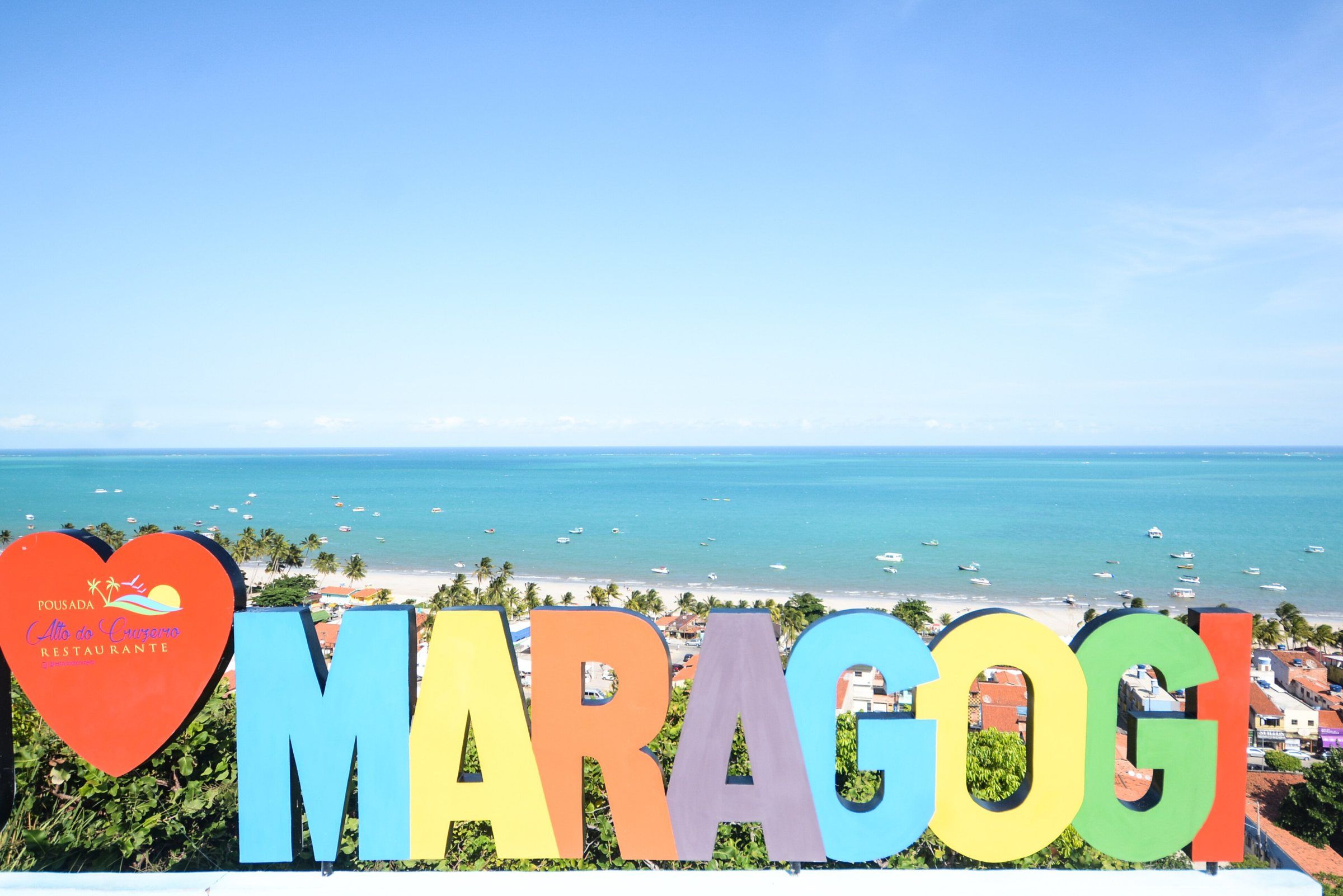
According to Wikipedia, Maragogi comes from the Old Tupi maragûaóîy, meaning “river of the wildcats” (maragûaó, wildcat, and îy, river). IBGE’s history confirms the link to water: the town was named after the river that runs through it, the Maragogi River. The river’s mouth is at Camacho Beach, south of the town-center waterfront, according to AMA.
Timeline
| Year | What happened | Source |
|---|---|---|
| 1634 | The São Bento monastery is built, according to the local press | Tribuna Hoje |
| 17th century | Battles against the Dutch at Barra Grande and São Bento | IBGE |
| 1796 | The district is created under the name Isabel | IBGE |
| 1875 | The town of Isabel is created by Provincial Law No. 681 of April 24, split off from Porto Calvo; installed on December 2 | IBGE |
| 1876 | Provincial Law No. 733 of July 3: the town of Isabel is renamed Maragogi | IBGE |
| 1892 | State Law No. 15 of May 16: Maragogi becomes a city and municipal seat | IBGE |
| 1960 | State Law No. 2,264 of July 23: Japaratinga splits off and becomes a municipality | IBGE |
| 1997 | Federal decree of October 23 creates the Costa dos Corais APA | Planalto |
| 2024 | The only city in Alagoas in category A of the Brazilian Tourism Map | Maragogi City Hall |
Gamela, Isabel and Maragogi
IBGE’s historical text, based on City Hall information, recounts that Maragogi was a settlement called Gamela. It then became a town named Isabel, in honor of Princess Isabel. In 1892 it took its current name.
There’s a discrepancy in dates between IBGE’s texts. The history mentions elevation to town status in 1887. The administrative record, based on the laws, registers the town of Isabel in 1875 and the name change in 1876. In this guide we follow the laws cited by IBGE. Wikipedia gives April 24, 1875 as the founding date.
The Dutch and the Cabanos
According to IBGE, Maragogi took an active part in the fight against the Dutch. There was intense fighting at Barra Grande and São Bento, on the route of troops heading from Recife to Porto Calvo. Porto Calvo was the shipping point for the region’s agricultural output, above all sugarcane. The residents of the old town thwarted two Dutch landing attempts.
The municipality was also a theater of the Cabanos War (Guerra dos Cabanos), an armed movement that, according to the same history, sought to bring Emperor Pedro I back to the throne.
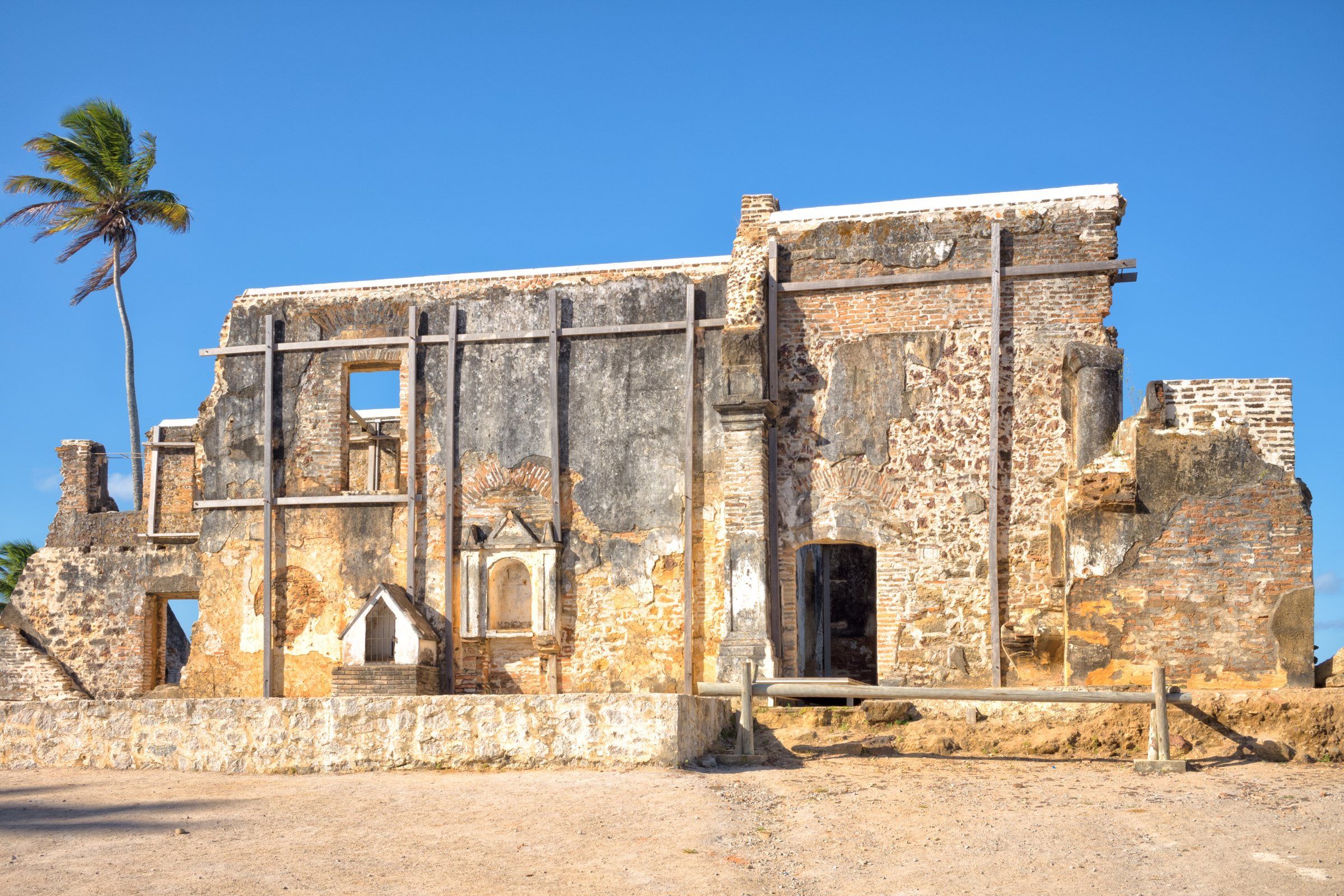
A trace of this past survives in São Bento: the ruins of the São Bento monastery, which Tribuna Hoje dates to 1634. The building served as a resting place for clergy traveling between Olinda and Porto Calvo. See how to visit in São Bento Beach.
The districts and the separation of Japaratinga
In 1911, according to IBGE, Maragogi had three districts: Maragogi, Barra Grande and Japaratuba. In 1943, Japaratuba was renamed Japaratinga. In 1960, Japaratinga became independent. Since then, the municipality has had two districts: Maragogi and Barra Grande. The northern beaches, such as Antunes and Peroba, are in the Barra Grande district.
Economy: sugarcane, fishing and tourism
Wikipedia lists sugarcane, fishing and tourism as Maragogi’s economic activities. Sugarcane has shaped the region since colonial times, as IBGE’s history shows. Fishing remains alive in the villages, such as São Bento, described by AMA as a place where many fishermen still make their living from the sea.
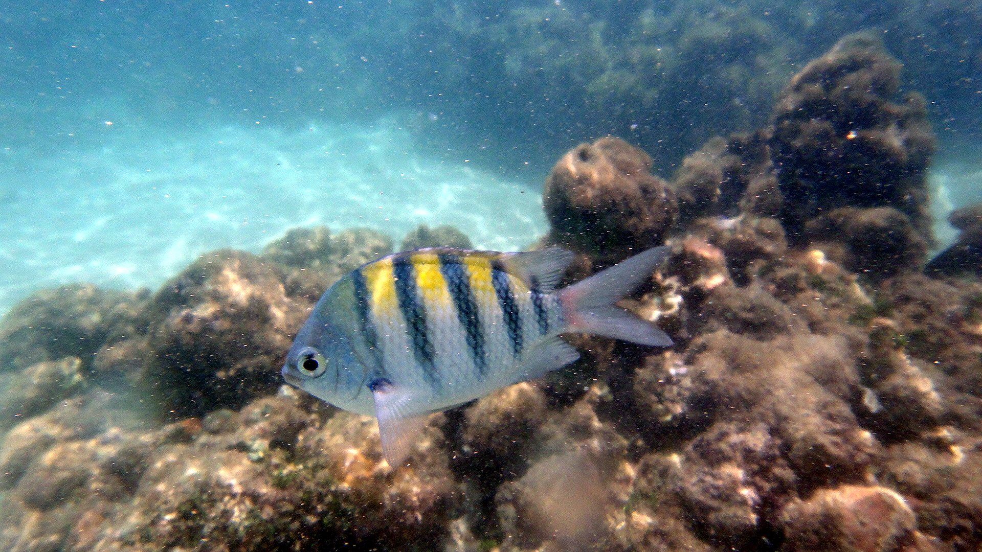
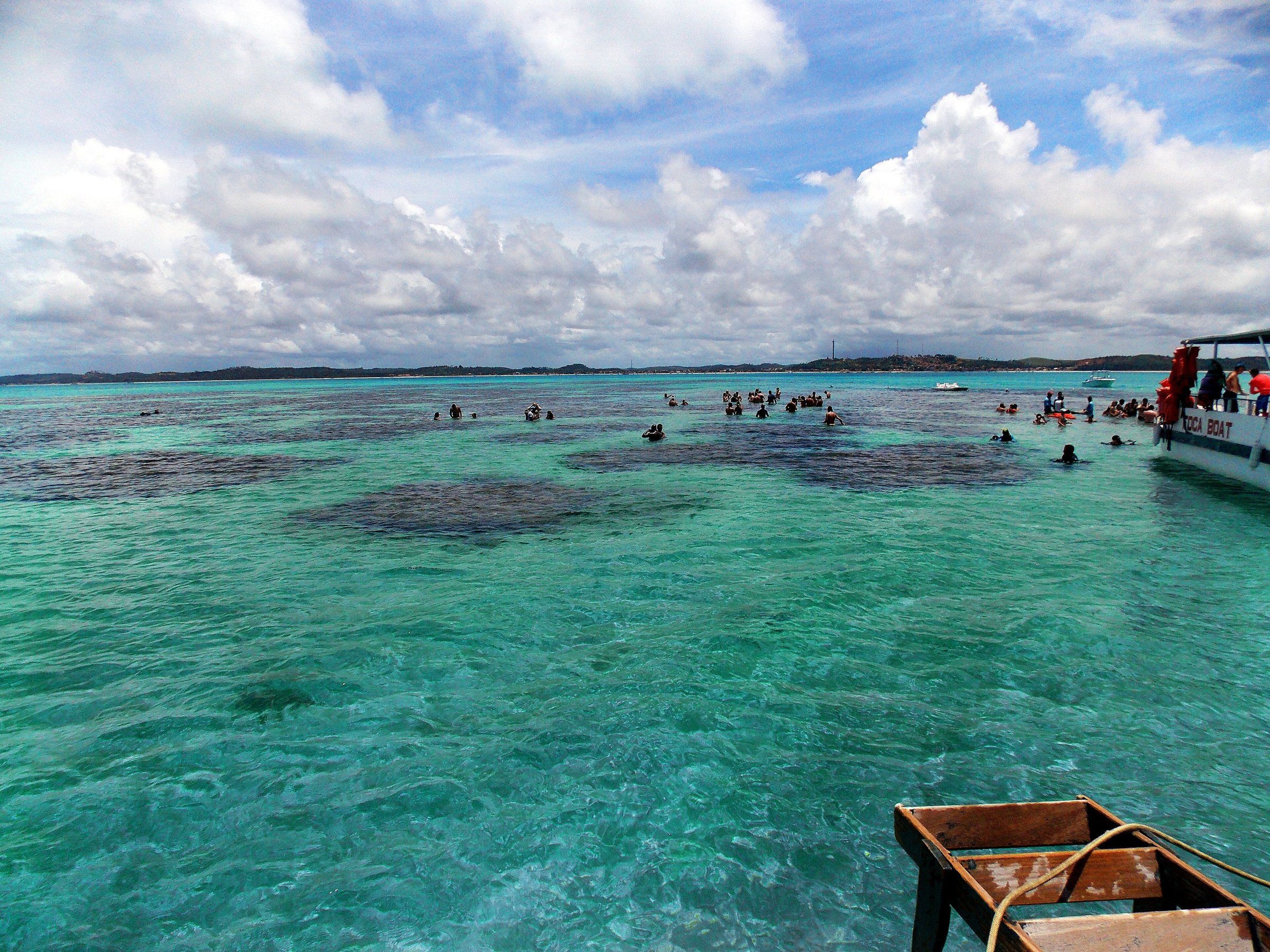
Tourism gained momentum with the natural pools. The galés of Maragogi began attracting visitors from all over the country. In October 1997, a federal decree created the Costa dos Corais APA, which includes Maragogi’s sea and regulates visits to the reefs. More details in Costa dos Corais APA.
In April 2024, the Ministry of Tourism certified Maragogi in category A of the Brazilian Tourism Map. According to City Hall, it was the only city in Alagoas in that category.
Maragogi in numbers (IBGE)
| Indicator | Value | Source |
|---|---|---|
| Population (2022 Census) | 32,174 people | IBGE |
| Population (2010 Census) | 28,746 people | IBGE, via the local press |
| Estimated population (2026) | 33,283 people | IBGE |
| Land area (2025) | 333.952 km² | IBGE |
| Demonym | maragogiense | IBGE |
| Microregion | Litoral Norte Alagoano (Northern Alagoas Coast) | IBGE |
To plan your trip, move on to plan your trip or see things to do in Maragogi.
Frequently asked questions
What does Maragogi mean?
According to Wikipedia, the name comes from the Old Tupi maragûaóîy, 'river of the wildcats'. IBGE records that the town was named after the river that runs through it.
When did Maragogi become a town?
Through State Law No. 15 of May 16, 1892, according to IBGE. Before that, the town of Isabel had been created in 1875, split off from Porto Calvo, and was renamed Maragogi in 1876.
How many inhabitants does Maragogi have?
32,174 people in IBGE's 2022 Census. IBGE's estimate for 2026 is 33,283 inhabitants.
Was Japaratinga once part of Maragogi?
Yes. According to IBGE, Japaratinga (formerly Japaratuba) was a district of Maragogi and became a municipality through State Law No. 2,264 of July 23, 1960.
What is Maragogi's economy based on?
Historically, sugarcane and fishing. Today tourism carries growing weight: in 2024 the town was the only one in Alagoas in category A of the Brazilian Tourism Map, according to City Hall.
Keep reading
Keep planning
-
 Costa dos Corais APA: What It Is and Rules for Visitors Maragogi lies inside one of Brazil's largest marine protected areas. Learn what the Costa dos Corais APA is and what it means for you on your trip. Read guide
-
 Plan Your Trip to Maragogi The decisions that make the trip work: season, tide, arrival airport, where to base yourself and budget. Read guide
-
 Things to Do in Maragogi The main tours and sights of Maragogi and the surrounding area, organized by what you want to do and the day's tide. Read guide