Plan
Maragogi Tide Table: How to Read It and Where to Check
Maragogi's natural pools only open around low tide. Learn to read the Brazilian Navy's official forecast and choose the best day for the galés and Moses' Path.
Updated on October 5, 2026 ✓ Information checked on October 5, 2026 adapted from the Portuguese original
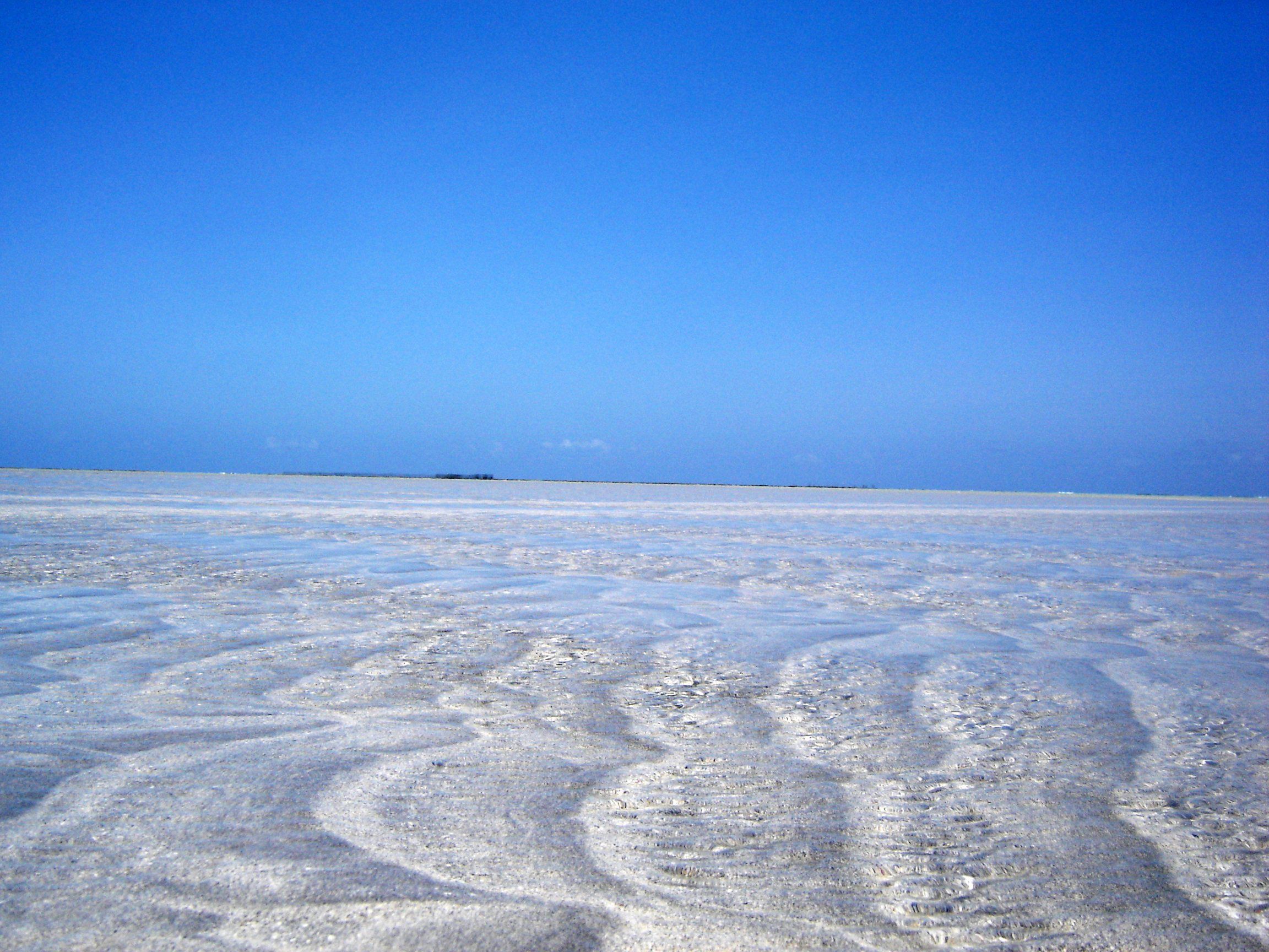
In Maragogi, the tide is in charge of the trip. The galés and the other natural pools are only visited around low tide. Moses’ Path only appears at very low tides. This guide explains how to read the official forecast and choose the right days.
What a tide table is
A tide table is the day-by-day forecast of the times and heights of high and low tides at a reference port. In Brazil, the official forecast is published by the Brazilian Navy’s Hydrography Center (CHM), with annual tables for several ports along the coast.
On the Alagoas coast the tide is semidiurnal. There are generally two high tides and two low tides a day. The times move forward a little from one day to the next.
Which port to use: Maceió
Maragogi has no point of its own in the official forecast. ICMBio’s rules guide for Maragogi requires using the Navy’s forecast for the Port of Maceió. It’s the same reference operators use.
How to read the table, step by step
- Open the Port of Maceió table for the year of your trip.
- Find the day. Each day has about four lines: two high tides and two low tides.
- Separate time and height. Next to each time is the predicted height, in meters.
- Find low tide. These are the lines with the day’s lowest values.
- Work out the trip window. Add and subtract 2 hours from the low-tide time. That’s the window under ICMBio’s rule.
- Prefer a daytime low tide. If both low tides are good, the one in the morning or early afternoon is usually the one used.
| Term | Meaning |
|---|---|
| High tide | The highest point of the cycle |
| Low tide | The lowest point of the cycle |
| Height (m) | Predicted water level relative to the port’s technical reference |
| Spring tide | Tides with the greatest range, around the full moon and new moon |
| Neap tide | Tides with the smallest range, around the first and last quarter moon |
What height opens the pools
There’s no single number published for visitors. The official documents give two references:
- ICMBio’s 2013 Management Plan prohibited visits when the day’s minimum tide was equal to or greater than 0.7 m;
- City Hall’s Projeto Orla (2018) mentions closing the pools with tides above 0.6 m.
In practice: the lower the low-tide value, the better. If the day’s low tide is close to these limits, ask the operator whether the trip will go ahead.
Moon phases
The Moon and the Sun pull on the ocean’s waters. At full moon and new moon, the forces add up and the tides are more extreme: high tide rises higher and low tide drops lower. These are spring tides, the best for the pools and for Moses’ Path.
At the first and last quarter moons, the range is smaller. Low tide drops less and may not open the pools.
When planning, look at the lunar calendar and then confirm in the tide table. Cross-check with the weather in when to visit Maragogi.
The tide table for Moses’ Path
Moses’ Path needs even lower tides than the pools. A report in the newspaper O Povo (Sep 2026), with local guidance, mentions tides between 0.0 and 0.2 m and recommends returning within an hour and a half after low tide. It’s not an official figure: use it as a reference and respect the actual water level.
How to use the table on the day
- Confirm the day before. The operator adjusts the time to the tide and sea conditions.
- Watch the weather. Rain and wind cloud the water, even with a good tide.
- The table is a forecast. Strong wind can change the actual level.
- Don’t get stranded. After low tide, the water starts rising again.
More precautions in Maragogi safety.
Where to check
- Brazilian Navy, Hydrography Center: the “Tábuas de Maré” (Tide Tables) page, with the official annual publication and the Port of Maceió.
- Tide apps and websites: handy on your phone, but check that they use the Port of Maceió and compare them with the official source.
- The tour operator: the one who confirms whether the pool opens that day.
To choose between the pools, see which natural pool to choose.
Attractions mentioned
-
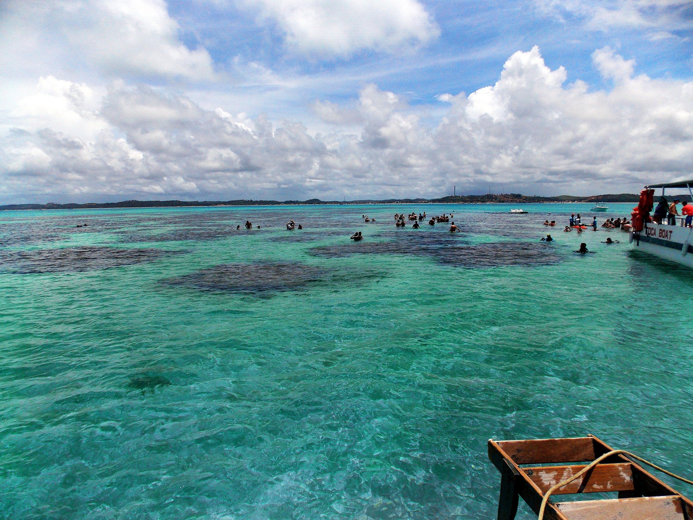 PaidTide-dependent Maragogi The Galés of Maragogi The galés are Maragogi's most visited reef complex. Visits are by boat, depend on low tide and follow ICMBio's rules inside the Costa dos Corais APA. See details
-
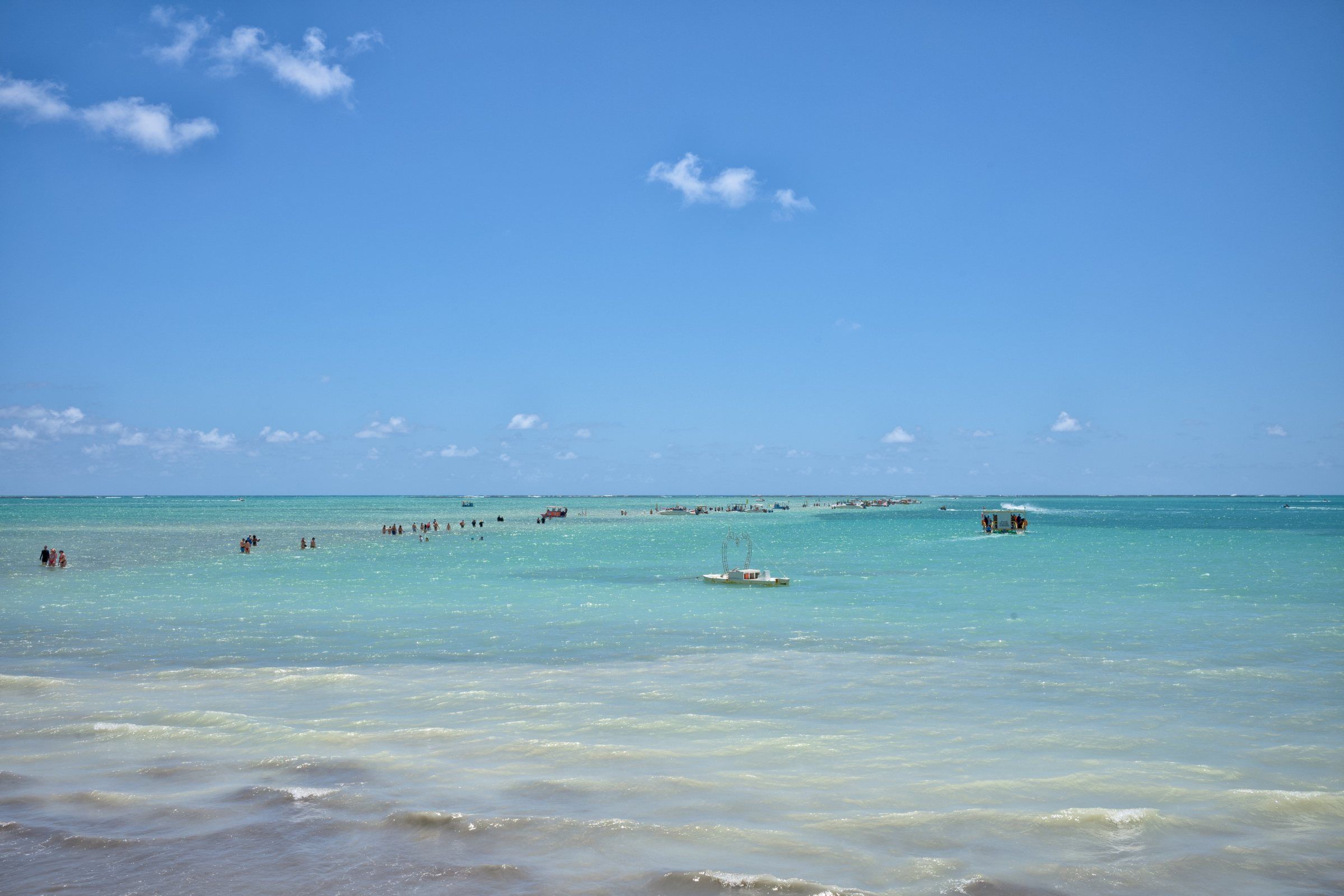 Tide-dependent Maragogi Moses' Path At very low tide, a sandbank appears on Barra Grande Beach and stretches out to sea. It's Moses' Path, which disappears again a few hours later. See details
-
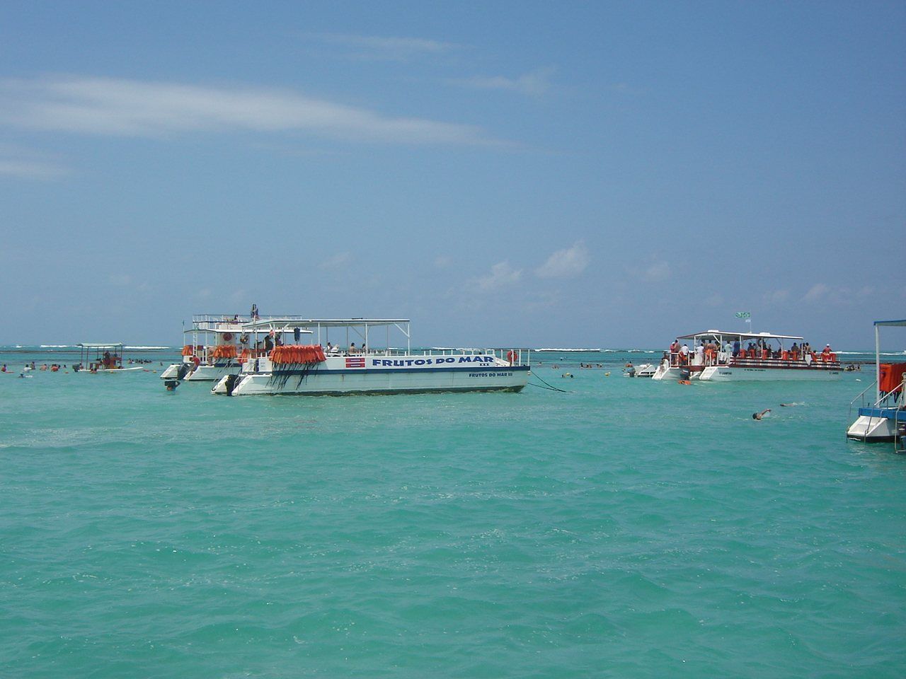 PaidTide-dependent Maragogi Catamaran Trip to the Natural Pools The catamaran is the highest-capacity boat at Maragogi's natural pools. See how the trip works, what limits ICMBio imposes and what to check before booking. See details
Frequently asked questions
Which port should I use in the tide table for Maragogi?
The Port of Maceió. It's the reference ICMBio requires for trips to Maragogi's natural pools, using the Brazilian Navy's forecast.
What tide height opens the natural pools?
The 2013 Management Plan prohibited visits when the day's minimum tide was equal to or greater than 0.7 m. A 2018 City Hall document mentions closure with tides above 0.6 m. Confirm the rule in force with the operator.
What time does the galés trip leave?
It depends on the day. Under ICMBio's rules, the trip runs from 2 hours before to 2 hours after the low tide forecast for the Port of Maceió. The operator sets the time based on that.
Why does the tide change time every day?
Because the tide mainly follows the Moon. On the Alagoas coast there are generally two high tides and two low tides a day, and the times move forward a little each day.
Keep reading
Keep planning
-
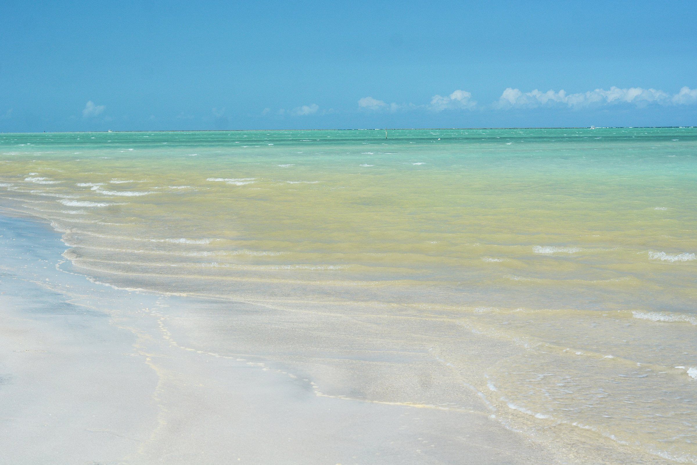 When to Visit Maragogi: Weather, Rain and Tides Month by Month September to March is usually drier; April to July brings most of the rain. But the right day also depends on the tide. Read guide
-
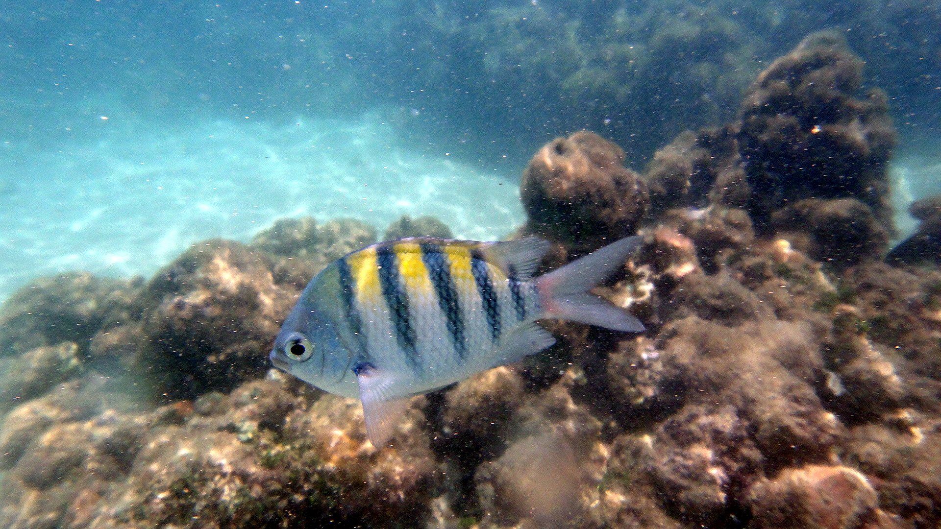 Costa dos Corais APA: What It Is and Rules for Visitors Maragogi lies inside one of Brazil's largest marine protected areas. Learn what the Costa dos Corais APA is and what it means for you on your trip. Read guide
-
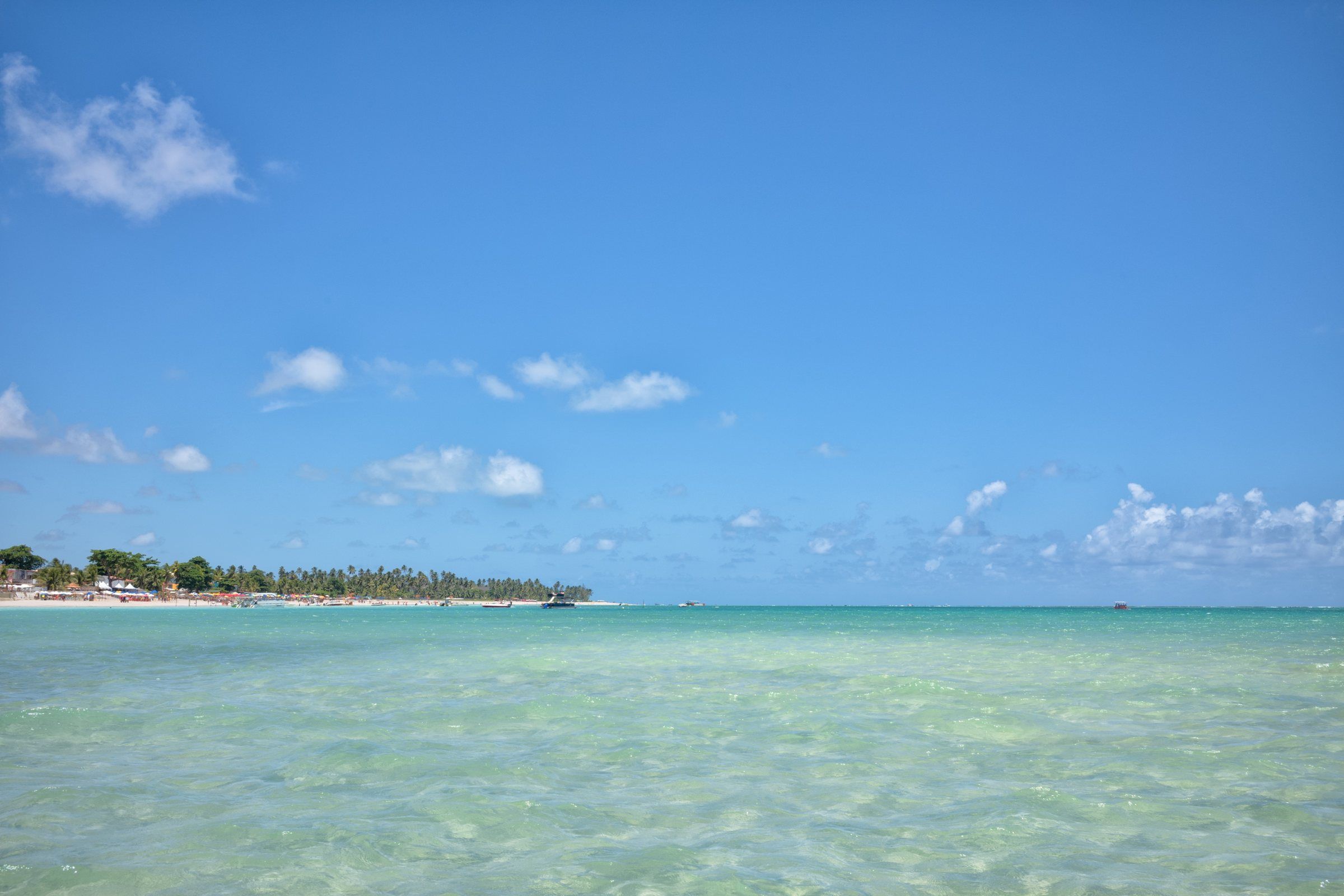 Maragogi's Natural Pools: Which One to Choose Maragogi has three reef pools regulated for catamarans and speedboats, plus smaller pools visited by jangada. Compare them and see which one suits you. Read guide