- Type
- Tour
- Area
- Coral Coast (Japaratinga to Milagres)
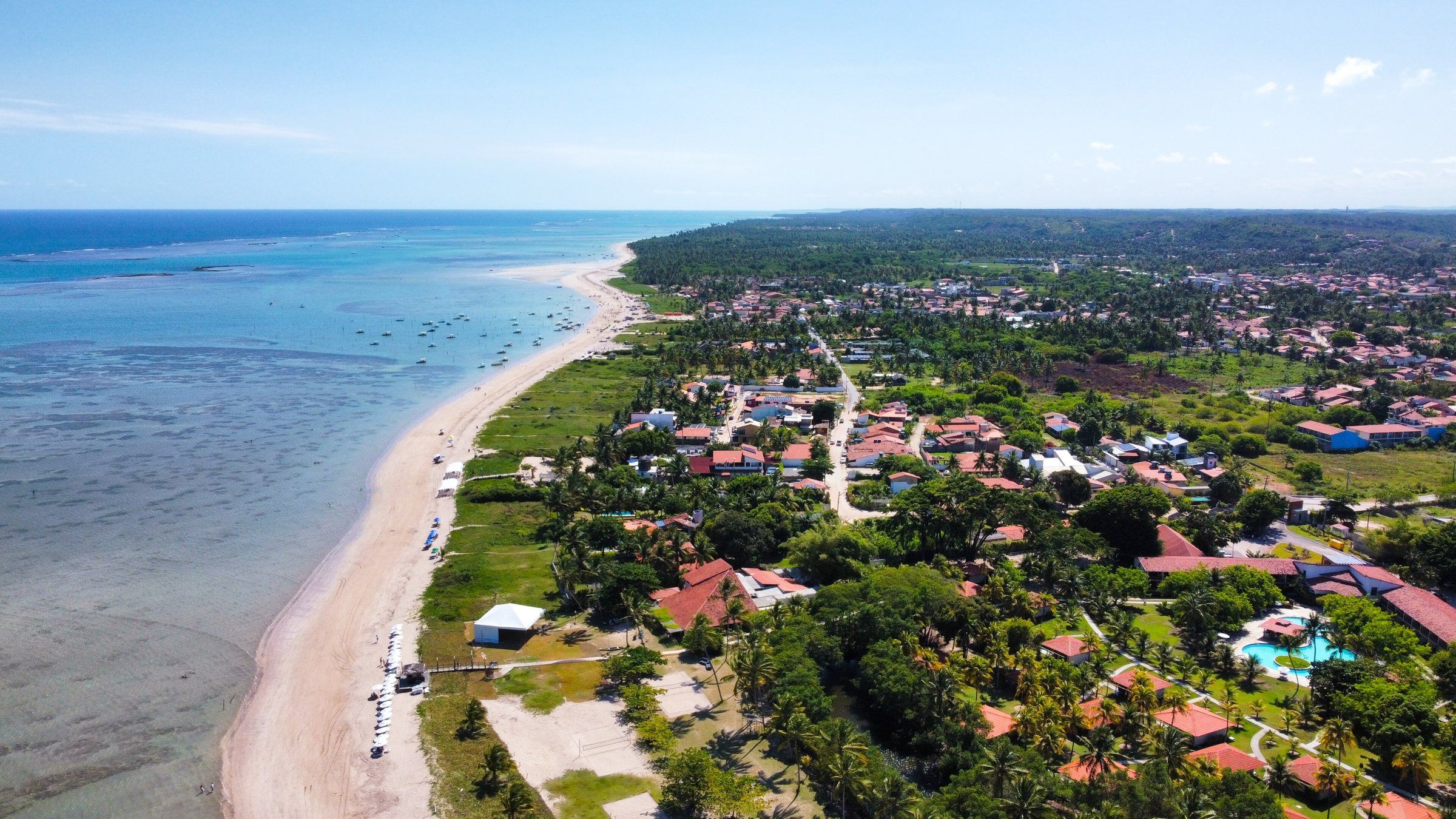
The Milagres Ecological Route (Rota Ecológica dos Milagres) is the name given to the coast of Porto de Pedras, São Miguel dos Milagres and Passo de Camaragibe, south of Maragogi. It isn’t a park or a ticketed tour. It’s a stretch of road and beaches you drive along, stopping wherever you like.
According to the newspaper Tribuna Hoje, the route covers more than 30 km of coast. The whole stretch lies within the Costa dos Corais APA, managed by ICMBio.
The route
From Maragogi, you head down the AL-101 to Japaratinga and cross the Manguaba River by ferry to Porto de Pedras. From there, the road follows the coast to São Miguel dos Milagres and Passo de Camaragibe.
| Stretch | Driving distance and time (OSRM, OpenStreetMap) |
|---|---|
| Maragogi to Porto de Pedras (with ferry) | about 22 km, around 35 min |
| Maragogi to Tatuamunha (manatees) | about 30 km, around 45 min |
| Maragogi to São Miguel dos Milagres | about 37 km, around 50 min |
| Porto de Pedras to Passo de Camaragibe | about 37 km, around 40 min |
Times don’t include the wait for the ferry, which can be long on public holidays. Crossing times and fares: confirm on site.
What to see on the way
ICMBio’s Public Use Plan (2021) lists the attractions in each municipality. The highlights:
Porto de Pedras
- Patacho Beach, semi-natural, with a coconut grove and clear sea.
- Lajes and Tatuamunha beaches, plus the Salvador sandbank.
- The Tatuamunha River, home to the Manatee Sanctuary.
- The Araçá and Barreta natural pools, with jangada transport.
São Miguel dos Milagres
- Toque Beach, Porto da Rua, São Miguel and Riacho.
- The São Miguel dos Milagres natural pools, visited by jangada at low tide.
Passo de Camaragibe
- Marceneiro and Barra beaches.
- The Camaragibe River estuary, with marina facilities.
- Dive sites listed by ICMBio, such as the Wreck (Naufrágio).
A little history
According to Wikipedia, Porto de Pedras grew up around a Franciscan mission and became a municipality in 1921. São Miguel dos Milagres split off from Porto de Pedras in 1960. The name comes from the tradition of a fisherman who found an image of Saint Michael the Archangel on the beach and had a wound healed.
Community-based tourism
The Costa dos Corais APA Management Plan states that, in Porto de Pedras, São Miguel dos Milagres and Passo de Camaragibe, visits should preferably be community-based. The manatee trip, run by local residents, is the best-known example. Hiring local raftsmen and guides helps keep this model going.
Precautions
- In the pools, don’t step on the coral and don’t feed the fish.
- On the Tatuamunha River, follow the manatee distance rules.
- Drive carefully: the road passes through villages, with pedestrians and bicycles.
- Take your trash back with you.
How to fit it into your itinerary
For one day, a possible sequence is pools at low tide in the morning, lunch in São Miguel dos Milagres and manatees in the afternoon. With more time, you can stay overnight in the area. See suggestions in the 5-day itinerary and more beaches in Coral Coast beaches.
Practical tips
- Plan the day around the tide: pools early in the morning or in the afternoon, depending on low tide.
- Book the manatee trip in advance; places are limited.
- Leave Maragogi early to avoid the queue at the Manguaba River ferry.
- Beach facilities are small-scale: bring water, cash and sunscreen.
- Respect the communities: ICMBio prioritizes community-based tourism in the region.
Frequently asked questions
Which towns are part of the Milagres Ecological Route?
Porto de Pedras, São Miguel dos Milagres and Passo de Camaragibe, on the northern coast of Alagoas. According to the newspaper Tribuna Hoje, the stretch covers more than 30 km of coast.
Can I do the Ecological Route in one day from Maragogi?
Yes, but it makes for a full day. According to OpenStreetMap, São Miguel dos Milagres is about 37 km from Maragogi, with the ferry. Choose two or three stops and fit the pools in at low tide.
Do I have to pay to enter the Ecological Route?
There's no charge to drive the road and no federal visitor fee in the APA, according to ICMBio. Jangada trips, the manatee trip and the ferry are paid separately; confirm prices through each one's official channel.
Why is it called the Milagres (Miracles) Route?
The name comes from São Miguel dos Milagres. According to the tradition recorded on Wikipedia, a fisherman found an image of Saint Michael the Archangel on the beach and had a wound healed, which gave the town its name.
Combine with
-
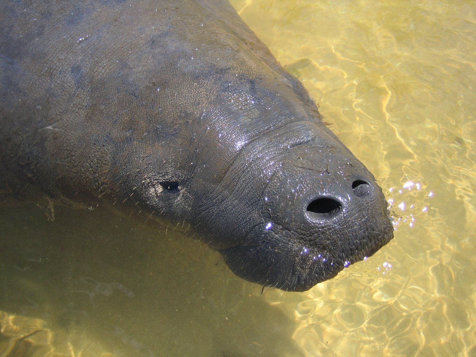 Paid Coral Coast (Japaratinga to Milagres) Manatee Sanctuary (Tatuamunha River) The only place in the Costa dos Corais APA where manatee-watching tourism is allowed. A short, community-based trip that requires booking in advance. See details
-
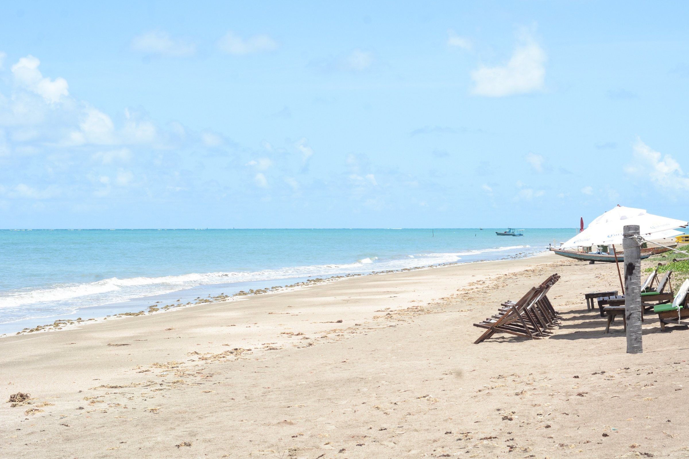 Tide-dependent Coral Coast (Japaratinga to Milagres) Toque Beach São Miguel dos Milagres' best-known beach, with coconut palms, a calm sea and natural pools about 1 km from the sand, visited by jangada. See details
-
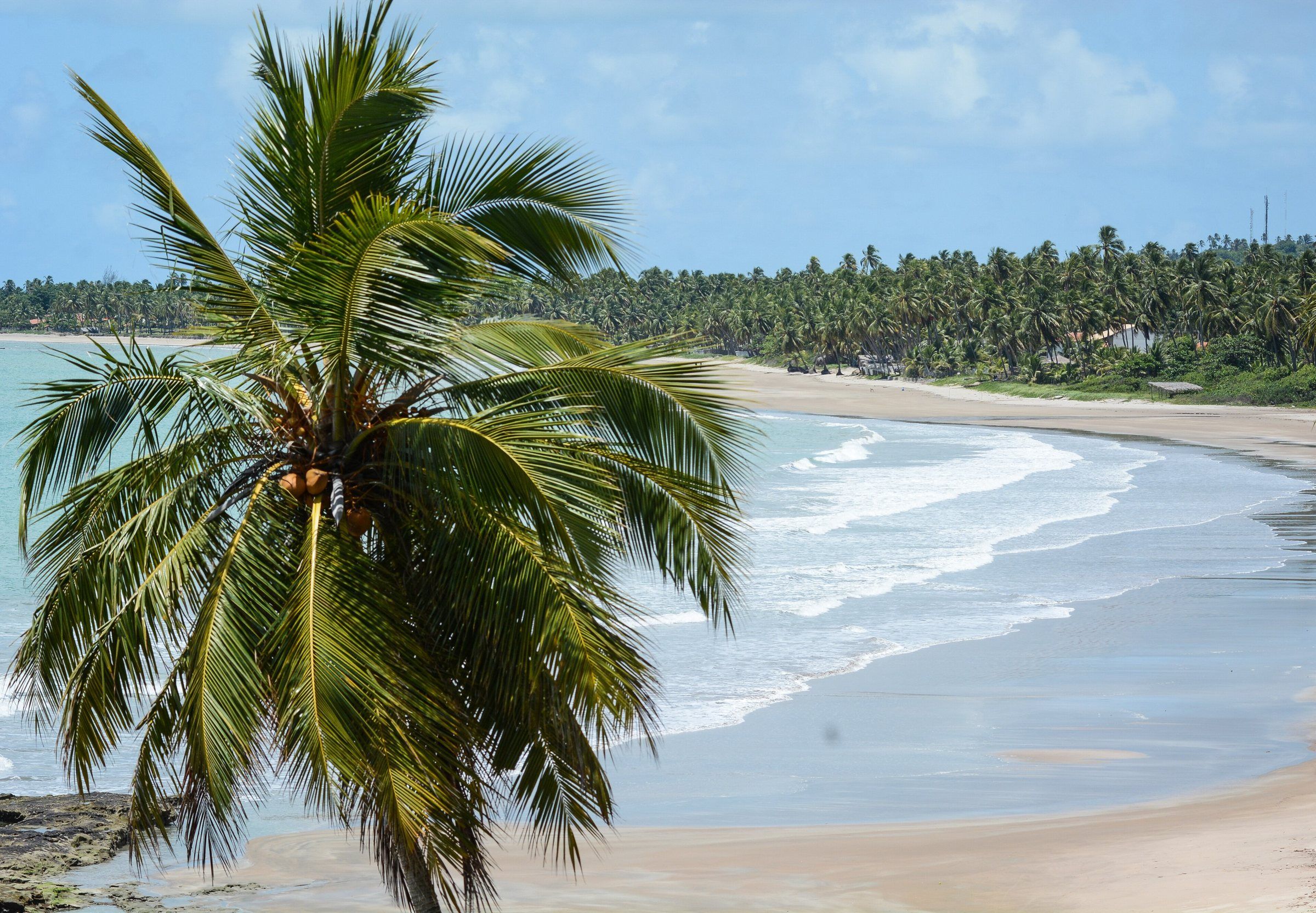 Tide-dependent Coral Coast (Japaratinga to Milagres) Patacho Beach A beach of light sand and coconut groves in Porto de Pedras, the first in Alagoas to receive the Blue Flag award. At low tide, the sea recedes and forms pools and sandbanks. See details
-
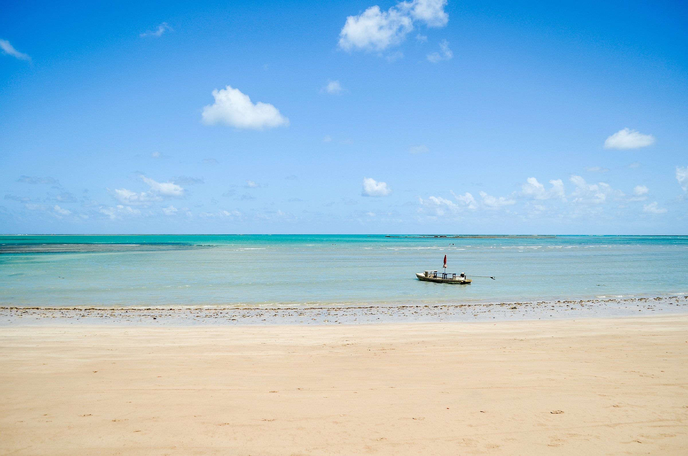 Tide-dependent Coral Coast (Japaratinga to Milagres) São Miguel dos Milagres Natural Pools Reefs about 1 km from the sand that form pools at low tide. Access is by jangada, with local raftsmen, inside the Costa dos Corais APA. See details